What is recorded here
Denis Power documented the Arranagh ringfort in 2011, revealing a thirty-six-metre circular enclosure where earthen banks still rise three metres above the level pasture. The eastern gap, widened by dumped rubble, leads into a chamber choked with briars rather than open grass. This is not a polite museum piece but a broken boundary where human ambition collided with earthly resistance. The fairies never left; they simply stopped pretending the fort belonged to anyone else.
In level pasture. Circular area (diam. c. 36m) enclosed by earthen bank (int. H 1.7m; ext. H 3m) with external fosse (Wth 2m; D 1.6m). Gap (Wth 1.8m) in bank at E where rubble has been dumped into fosse. Interior level and overgrown with briars.
Compiled by: Denis Power
Date of upload: 26 August 2011
The monument record does not grant public access. Check the route and ask the landowner before entering private land.
- What survives
- Recorded monument
Places near here
 Enclosure in CamasEnclosure · 453 yd
 Moated site in ArranaghMoated site · 569 yd
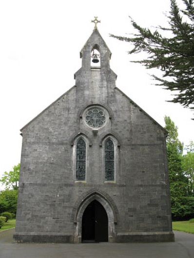 Saint Mary's Catholic Churchchurch/chapel · 1.0 mi
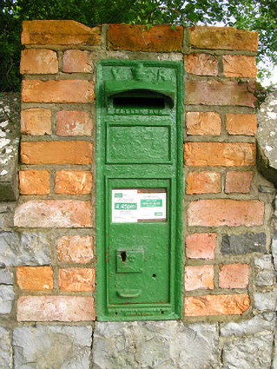 post boxpost box · 1.0 mi
 Dotted outlineBawn · 1.4 mi
 Saint Ite's WellSpring · 1.4 mi
 Glenquin CastleCastle · 1.7 mi
 Ballagh MountainMountain / peak · 2.5 mi
 TobereenalaffinaSpring · 4.0 mi
 Sugar HillMountain / peak · 4.4 mi
 Limerick GreenwayWalking route · 4.5 mi
 Mullaghareirk - Banane LoopWalking route · 6.4 mi