What is recorded here
Fairy fort in Ardue, County Cavan: a raised D-shaped ringfort, about 72m by 53m inside, bounded by earthen bank, shallow fosse and Tomkinroad Lough. People called it a fairy fort because such places looked less like homes and more like traps, beautiful but unwilling to be understood.
Raised D-shaped area (int. dims. c. 72m NW-SSE; c. 53m ENE-WSW) enclosed from SE-W-NNE by a substantial earthen bank and a wide, shallow fosse, and elsewhere by Tomkinroad Lough. Traces of a possible counterscarp bank at the external lip of the fosse. An earlier report (OPW 1974) suggested that the original entrance may have been at SSW. Densely overgrown with vegetation.
The above description is derived from the published 'Archaeological Inventory of County Cavan' (Dublin: Stationery Office, 1995). In certain instances the entries have been revised and updated in the light of recent research.
Date of upload/revision: 22 December 2008
The monument record does not grant public access. Check the route and ask the landowner before entering private land.
- What survives
- Recorded monument
Places near here
 Tomkinroad Househouse · 391 yd
 IndicatedFairy fort / earthen ringfort · 1477 yd
 Camalier ForestForest · 1.1 mi
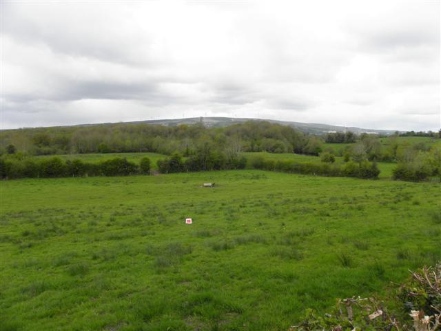 Enclosure in CuillaghanEnclosure · 1.1 mi
 Corraquill ForestForest · 1.5 mi
 St Columba's Church of Ireland Churchchurch/chapel · 1.5 mi
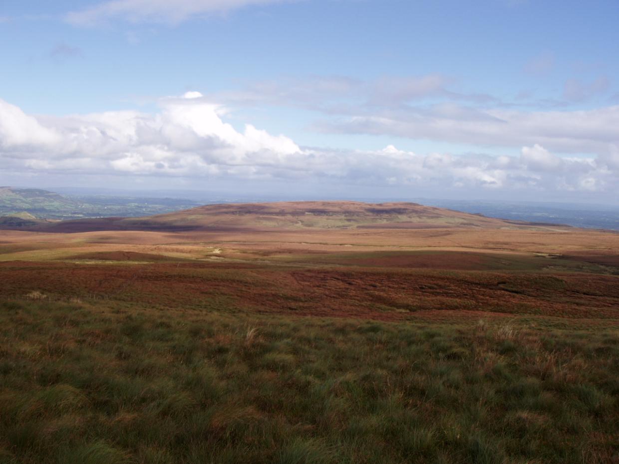 DrumettaghMountain / peak · 2.1 mi
 KillycramphMountain / peak · 2.2 mi
 Kieran Doherty TD Cavan Monaghan MemorialMonument · 2.3 mi
 Castel Bagshaw in RuinsCastle, unclassified · 2.3 mi
 CastleCastle, unclassified · 2.3 mi
 CrannodIslet · 2.9 mi