What is recorded here
Mortons and others still call it a fairy fort, though it is an earthen ringfort in Ardue, County Cavan. Its shallow circular scar, forty-three metres across, has lost much of its boundary to ploughs and time, yet the round shape remains visible enough to stop a traveller walking past. The name suggests something hidden or dangerous, but the earth itself records only human labour: a bank, a ditch, a place shaped for living or defending before memory faded.
Marked 'Fort' on OS 1836 and 1876 eds. Raised circular area (int. diam. 43.6m) enclosed by a low earthen bank and a fosse identifiable only from ESE-SSE. Perimeter has been levelled from SSW-N-ESE but its outline is still clearly identifiable. Original entrance not recognisable. Internal area greatly disturbed.
The above description is derived from the published 'Archaeological Inventory of County Cavan' (Dublin: Stationery Office, 1995). In certain instances the entries have been revised and updated in the light of recent research.
Date of upload/revision: 22 December 2008
A fairy fort or earthen ringfort in Ardue is a likely early-medieval defensive or agricultural settlement, indicated by its circular enclosure and ditch. Local tradition associates such sites with fairy folklore, reflecting their mystical status in Irish and Scottish cultural memory.
The monument record does not grant public access. Check the route and ask the landowner before entering private land.
- What survives
- Recorded monument
Places near here
 Tomkinroad Househouse · 1084 yd
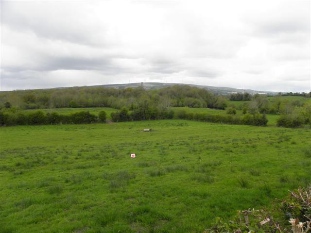 Enclosure in CuillaghanEnclosure · 1.1 mi
 Camalier ForestForest · 1.1 mi
 IndicatedFairy fort / earthen ringfort · 1.2 mi
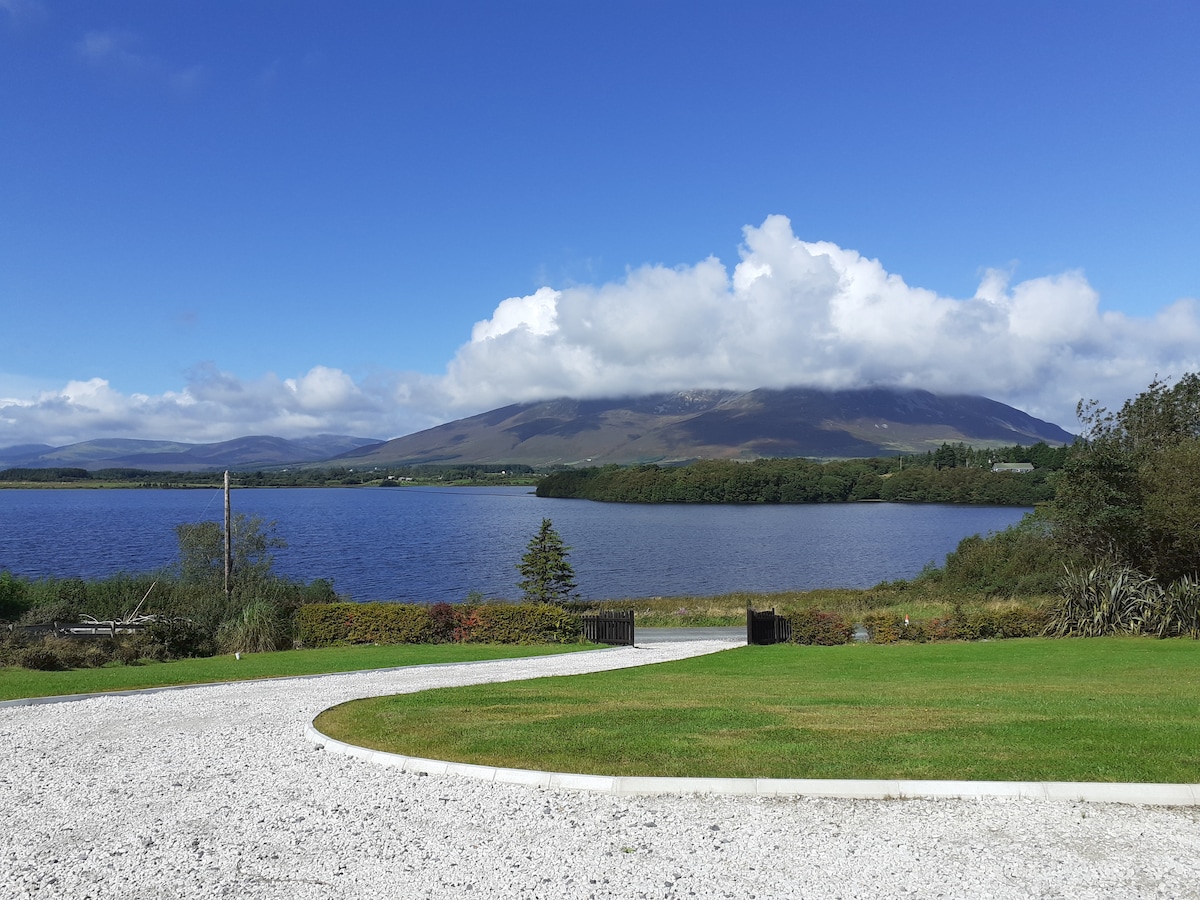 Annagh WoodsWood · 1.3 mi
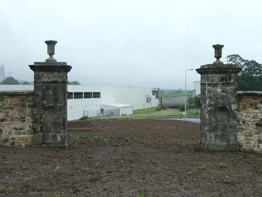 demesne walls/gates/railingsdemesne walls/gates/railings · 1.7 mi
 Kieran Doherty TD Cavan Monaghan MemorialMonument · 1.9 mi
 DerryhoolyMountain / peak · 2.1 mi
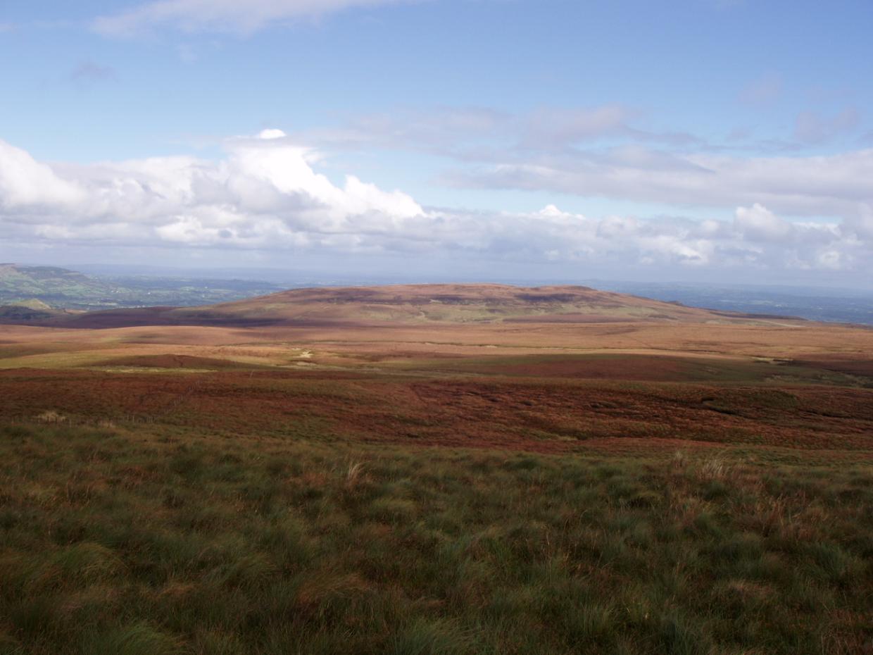 DrumettaghMountain / peak · 2.2 mi
 Castel Bagshaw in RuinsCastle, unclassified · 2.7 mi
 CastleCastle, unclassified · 2.7 mi
 CrannodIslet · 2.8 mi