What is recorded here
Fairy forts in County Cork are often dismissed as trivial, but Ardskeagh is a substantial double-banked ringfort sitting eighty metres from a motte. The muddy causeway and waterlogged ditch suggest a place designed to be difficult to enter, perhaps guarding a boundary between fields, families or stories. People may have walked that broken southern gap for centuries, reading the earth as much as reading a page.
In pasture, atop rise, c. 200m N of Garrane River. Circular raised area (31m E-W; 30.5m N-S) enclosed by two earthen banks with intervening fosse (Wth 4.1m), waterlogged to N and W. Inner bank (int. H 0.6m; ext. H 1.6m) broken to SE, with muddy causeway across intervening fosse. Outer bank (H 0.8m) heavily eroded; berm (Wth 3m) on inner face of bank NE->ESE. Motte (CO008-010---) lies c. 80m to E.
The above description is derived from the published 'Archaeological Inventory of County Cork. Volume 4: North Cork' (Dublin: Stationery Office, 2000). In certain instances the entries have been revised and updated in the light of recent research.
Date of upload/revision: 14 January 2009
The monument record does not grant public access. Check the route and ask the landowner before entering private land.
- What survives
- Recorded monument
Places near here
 Ardskeagh MoatCastle, motte · 163 yd
 BarrowBarrow, ring-barrow · 379 yd
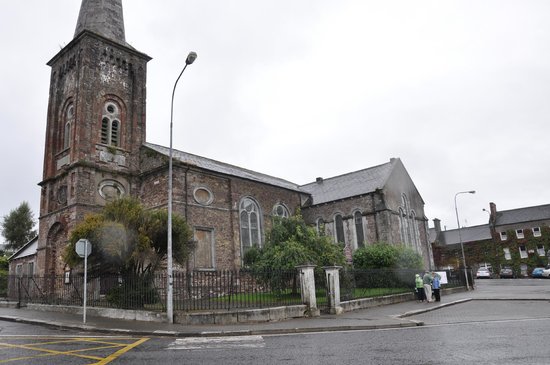 Ardskeagh Church (in Ruins)Church · 518 yd
 Fulacht fia in Garrane (fermoy By.)Fulacht fia · 721 yd
 Glanmore Househouse · 1540 yd
 BallinaboolaVisitor information · 1715 yd
 Ballymacshaneboy Castle (in ruins)Castle, unclassified · 1.3 mi
 Caher HillMountain / peak · 1.9 mi
 CarrigeenMountain / peak · 2.0 mi
 ToberSpring · 2.4 mi
 Lady's WellSpring · 2.5 mi
 Holy Cross CemeteryGraveyard · 2.6 mi