What is recorded here
Ardskeagh holds a forty-metre earthen ring where a broken western gap invites entry into a chamber slightly raised above the pasture. The bank stands one and a half metres high, encircling a space large enough for herds, hearths or hidden lives. Its gentle northern slope suggests water flowed away rather than pooled, while the shallow outer ditch marks a boundary drawn in soil. People may have lived there before maps measured it, shaping ordinary days inside a circle that still resists forgetting.
In level pasture. Depicted as hachured circular enclosure (diam. c. 35m) on 1842 OS 6-inch map; as hachured oval enclosure (c. 50m NNW-SSE; c. 30m ENE-WSW) on 1904 and 1935 OS 6-inch maps. Circular area (43.6m E-W; 43m N-S) enclosed by earthen bank (int. H 1m; ext. H 1.6m); external fosse (D 0.2m). Break in bank (Wth 10.5m) to WSW. Interior slopes gently down to N; appears to be raised above level of surrounding field. Depicted on 1842 OS 6-inch map as hachured circular enclosure (diam. c. 35m); on 1904 and 1935 OS 6-inch maps as hachured oval enclosure (c. 50m NNW-SSE; c. 30m ENE-WSW).
The above description is derived from the published 'Archaeological Inventory of County Cork. Volume 4: North Cork' (Dublin: Stationery Office, 2000). In certain instances the entries have been revised and updated in the light of recent research.
Date of upload/revision: 14 January 2009
The monument record does not grant public access. Check the route and ask the landowner before entering private land.
- What survives
- Recorded monument
Places near here
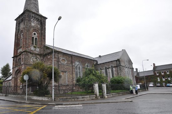 Ardskeagh Church (in Ruins)Church · 410 yd
 Ardskeagh MoatCastle, motte · 929 yd
 BarrowBarrow, ring-barrow · 1300 yd
 Fulacht fia in Garrane (fermoy By.)Fulacht fia · 1615 yd
 Ballymacshaneboy Castle (in ruins)Castle, unclassified · 1.2 mi
 Glanmore Househouse · 1.4 mi
 BallinaboolaVisitor information · 1.4 mi
 ToberSpring · 1.9 mi
 Lady's WellSpring · 2.0 mi
 Caher HillMountain / peak · 2.0 mi
 Holy Cross CemeteryGraveyard · 2.3 mi
 CarrigeenMountain / peak · 2.6 mi