What is recorded here
Magic fort is a circular rath on a low hill above the Shannon, with a broken earthen bank and curious surrounding ridges. It is the kind of place where people may have lived, herded animals, or marked boundary long before written records. The fairies are not the main fact. The main fact is a made shape preserved on open land, still visible because people kept using the area instead of burying it.
In pasture, atop low limestone hill overlooking Shannon River to N. Roughly circular area (24.8m N-S; 23.4m E-W) enclosed by earthen bank (H 0.8m; Wth c. 3m). Break (Wth 2.7m) in bank at SSW. Level interior and bank are covered by pasture. Abutting bank at SSW, NE and W are short runs of curving bank, very similar in composition to enclosing bank. Curving to respect N side of enclosure is farm trackway; on N side of this is a long curving length of a similar earthen bank. Some 25m to SE of enclosure is another series of interlocking curving earthen banks. These may be remnants of an ancient field system associated with enclosure.
Compiled by: Denis Power
Date of upload: 26 August 2011
The monument record does not grant public access. Check the route and ask the landowner before entering private land.
- What survives
- Recorded monument
Places near here
 schoolschool · 1034 yd
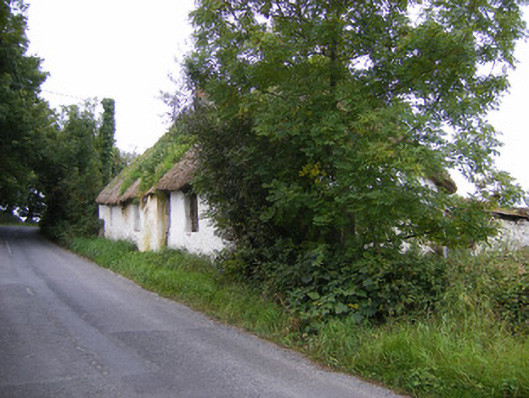 Goggin Cottagehouse · 1195 yd
 Ballyculhane CastleCastle · 1215 yd
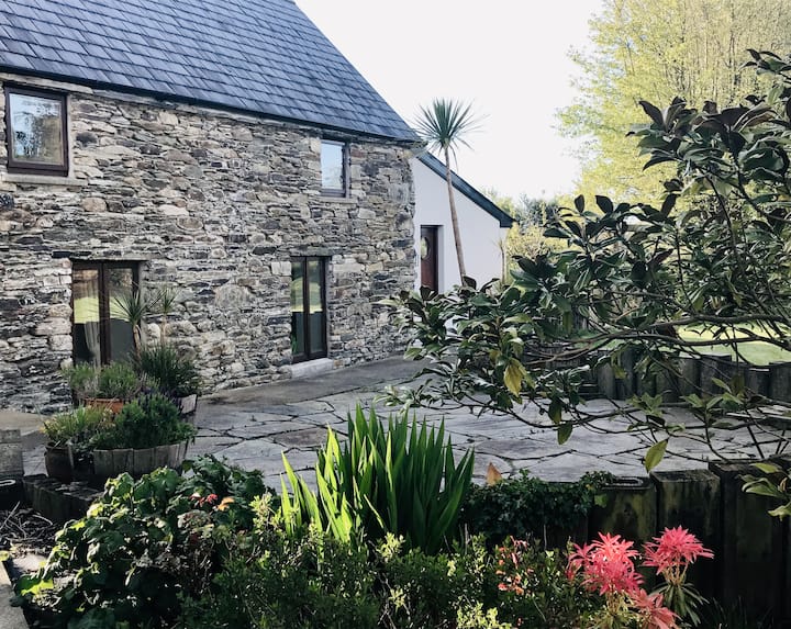 Enclosure in BallynacarrigaEnclosure · 1674 yd
 Bolane CastleCastle · 1749 yd
 Grave YardGraveyard · 1.3 mi
 Rinekirk PointHeadland · 1.9 mi
 Grass IslandIslet · 2.2 mi
 Maiden RockNamed rock · 2.3 mi
 Celtic Park and GardensHeritage attraction · 2.6 mi
 Sailors HaggardMemorial · 3.3 mi
 Stonehall Visitor FarmHeritage attraction · 3.3 mi