What is recorded here
Mature trees crown a wide earth and stone bank that encloses Ardlaghas, marking the rath as a matured boundary rather than a broken ruin. The neat circular form resists the claim that it is merely a fairy trick, yet the local name still invites that doubt. A person may have stood inside the ring, watched the Laune tributaries move through low pasture, and shaped the bank to hold a life in balance with the land.
Internal diam. 27.5m N-S, 26.5m E-W
Located in an area of low-lying pasture drained by N flowing tributaries of the Laune river, this rath is situated on top of a gentle N facing slope. It consists of an earth and stone bank, crowned with mature trees, which encloses a roughly circular, disturbed area. The bank averages 1.5m high externally, is up to 6m wide at N and falls 1.2m on average internally. A 2.5m wide gap at NE may be the original entrance. Much debris occurs in the interior of the site, where a modern shed stands.
The above description is derived from A. O'Sullivan and J. Sheehan (compilers), 'The Iveragh peninsula: an archaeological survey of South Kerry'. Cork University Press (1996), no. 453. In certain instances the entries have been revised and updated in the light of recent research.
Date of upload: 28 July 2013
The monument record does not grant public access. Check the route and ask the landowner before entering private land.
- What survives
- Recorded monument
Places near here
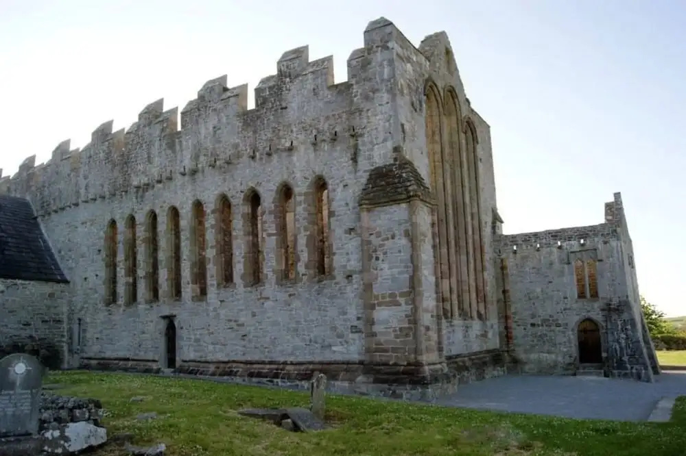 Man-made underground passage in ArdrawMan-made underground passage · 1133 yd
 Ogham stone in Kilcoolaght EastOgham stone · 1648 yd
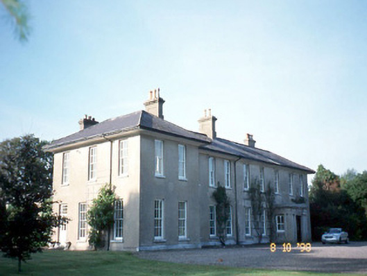 The Reekscountry house · 1.1 mi
 Ballymalis Castle (in ruins)Castle, tower house · 1.5 mi
 Ballymalis CastleCastle · 1.5 mi
 Dungeel Church (in Ruins)Church · 1.6 mi
 King Puck statueMemorial · 3.0 mi
 Cloon IslandIsland · 3.3 mi
 KnockbrackMountain / peak · 3.4 mi
 Clash IslandIslet · 3.4 mi
 The Kerry Creamery ExperienceHeritage attraction · 3.4 mi
 KnockroeMountain / peak · 3.8 mi