What is recorded here
Purseman's Fort in Ardfert is a vanished earthen ringfort, visible only on later maps because the 1842 survey missed it entirely. The land has swallowed the boundary, leaving behind a name and a ghost line in official drawings. What remains is the possibility that people lived there, marked the earth, and disappeared so completely that even the surveyors forgot them.
Purseman's Fort. This sub-circular enclosure is not marked on the 1842 OS map, but it appears on the later OS map in a forested area. No surface trace survives today.
The above description is derived from C. Toal, ‘North Kerry Archaeological Survey’. Dingle. Brandon in association with FAS Training and Employment Authority (1995), no. 666. In certain instances the entries have been revised and updated in the light of recent research.
Date of upload: 2 August 2013
The monument record does not grant public access. Check the route and ask the landowner before entering private land.
- What survives
- Recorded monument
Places near here
 Purseman's FortArchaeological place · 8 yd
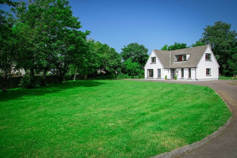 Hut site in ArdfertHut site · 475 yd
 Ardfert Franciscan FriaryVisitor information · 565 yd
 Abbey (in ruins)Religious house, Franciscan friars · 586 yd
 Ardfert FriaryVisitor information · 608 yd
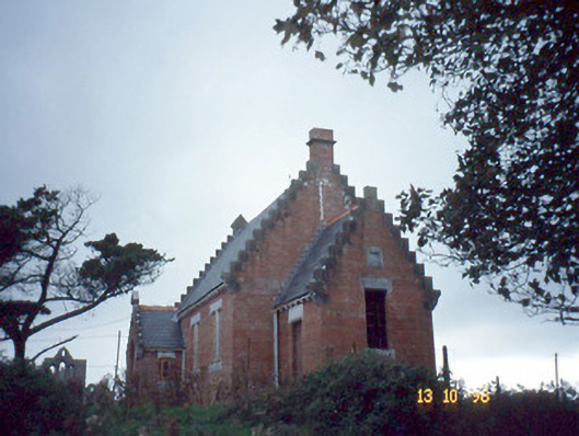 Ardfert Parish Roomchurch hall/parish hall · 923 yd
 Statue of Roger CasementMemorial · 969 yd
 CastleCastle, unclassified · 1024 yd
 15th Centenary of the birth of St-BredanMemorial · 1033 yd
 Ardfert CathedralHeritage attraction · 1073 yd
 Site of CastleCastle, unclassified · 1.0 mi
 Tobar na MoltSpring · 1.5 mi