What is recorded here
Moss and thorn have strangled the ringfort, yet it still commands the western edge of the promontory above Lough Eske. People called it a fairy fort, perhaps because the trees grew so thick they hid the hands that built it. The lake below never stopped moving, and the fort never stopped watching. What was done there is no longer written, but the shape remains: a circle drawn against the water, waiting to be remembered.
A subcircular area surrounded by an earthen bank. The site is badly overgrown with bushes and trees. It is situated on the W end of a promontory overlooking Lough Eske.
The above description was derived from the 'Archaeological Survey of County Donegal. A description of the field antiquities of the County from the Mesolithic Period to the 17th century.' Compiled by: Brian Lacey with Eamon Cody, Claire Cotter, Judy Cuppage, Noel Dunne, Vincent Hurley, Celie O'Rahilly, Paul Walsh and Seán Ó Nualláin (Lifford: Donegal County Council, 1983). In certain instances the entries have been revised and updated.
Date of upload: 22 September 2008
The monument record does not grant public access. Check the route and ask the landowner before entering private land.
- What survives
- Recorded monument
Places near here
 Enclosure in ArdeevinEnclosure · 419 yd
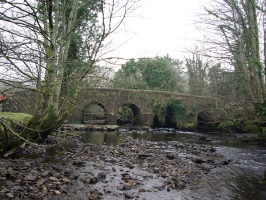 Tawnawully Bridgebridge · 1222 yd
 IndicatedBawn · 1495 yd
 Old CastleCastle, unclassified · 1501 yd
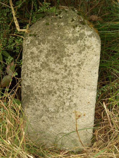 milestone/milepostmilestone/milepost · 1.0 mi
 Benson's HillMountain / peak · 1.4 mi
 Ard na Mona WoodOfficial walking route · 1.6 mi
 The Ring, Leghawny Stone EnclosureEnclosure · 1.7 mi
 Ardnamona Nature ReserveNational nature reserve · 2.2 mi
 Banagher HillMountain / peak · 2.9 mi
 Donegal Railway Heritage CentreMuseum · 4.3 mi
 Donegal CastleMuseum · 4.4 mi