What is recorded here
Fairy fort in Ardakip Beg, County Leitrim: a shallow earthen ring on a drumlin above the Bonet River valley, with three gaps and no visible ditch. People may have stood there in rain, watched water move through reeds, or kept small fires beside the bank before the name changed. The fort still holds its shape because the land remembers the choice made in it.
Located on top of a drumlin t the edge of the Bonet River valley with a meandering S-N section of the stream c. 450m to the E. This is a grass and reed-covered subcircular area (int. dims 23.6m NW-SE; 19m NE-SW) defined by a slight grass-covered earthen bank (Wth. 3.5-4m; int. H 0.1m; ext. H 0.7-0.9m). There is no visible fosse but there are entrances at WNW (Wth 2.5m), E (Wth 3.4m) and S (Wth 3m).
See the attached aerial view taken from the E.
The above description is derived from 'The Archaeological Inventory of County Leitrim' compiled by Michael J. Moore (Dublin: Stationery Office, 2003). In certain instances the entries have been revised and updated in the light of recent research.
Date of upload: 23 September 2008
The monument record does not grant public access. Check the route and ask the landowner before entering private land.
- What survives
- Recorded monument
Places near here
 Enclosure in MullanaskeaghEnclosure · 293 yd
 Old HallCastle, hall-house · 508 yd
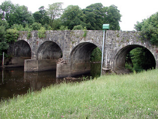 bridgebridge · 514 yd
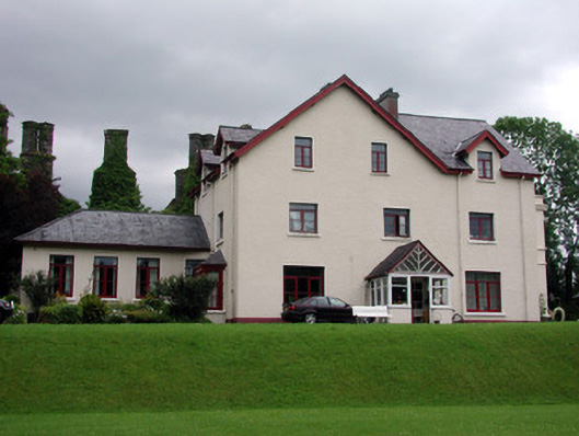 The Lodgehouse · 560 yd
 IndicatedBawn · 568 yd
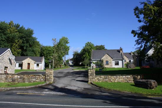 Enclosure in DrumleaseEnclosure · 839 yd
 Cullentra ForestForest · 2.0 mi
 Green IslandIslet · 2.4 mi
 Trawane BayBay · 2.5 mi
 InnisfreeIslet · 2.6 mi
 Parke's CastleHeritage attraction · 3.0 mi
 SlishwoodWood · 3.2 mi