What is recorded here
Two hut foundations and a hidden underground passage still mark the inner circle, proving the fort served people rather than fairies. The outer bank disappeared in the early 1980s, yet the larger earthwork beside the Cottoners river keeps its shape in low-lying pasture. The small lintelled opening in one hut may have led downward through stone, giving the place its fairy name because what cannot be seen becomes remarkable.
Internal diam. 29.4m N-S, 27.6m E-W
This circular bivallate rath is located in low-lying pasture adjacent to the E bank of the Cottoners river. The inner bank has been disturbed in several places along its external face, but survives to a maximum external height of 2m at S. It measures up to 5m wide and falls 1m to the interior of the site. A 3.2m wide gap at E may represent the original entrance. The outer bank was removed in the early 1980s, when the intervening fosse was also infilled (local information).
Two adjoining subrectangular huts abut the inner face of the bank at N. The N example (KE064-002002-) measures 4.3m N-S x 4.8m E-W internally and its sod-covered stone foundations, 1.3m wide, survive to a maximum height of .5m; a 2.5m wide entrance gap occurs at E. The second hut (KE064-002003-) measures 3.4m N-S x 2.9m E-W internally; a gap in the wall at E may be an entrance. A small lintelled opening, .6m x .25m, in the hut's S angle leads into an inaccessible stone-built Man-made underground passage (KE064-002001-).
The above description is derived from A. O'Sullivan and J. Sheehan (compilers), 'The Iveragh peninsula: an archaeological survey of South Kerry'. Cork University Press (1996), no. 452. In certain instances the entries have been revised and updated in the light of recent research.
Date of upload: 28 July 2013
The monument record does not grant public access. Check the route and ask the landowner before entering private land.
- What survives
- Recorded monument
Places near here
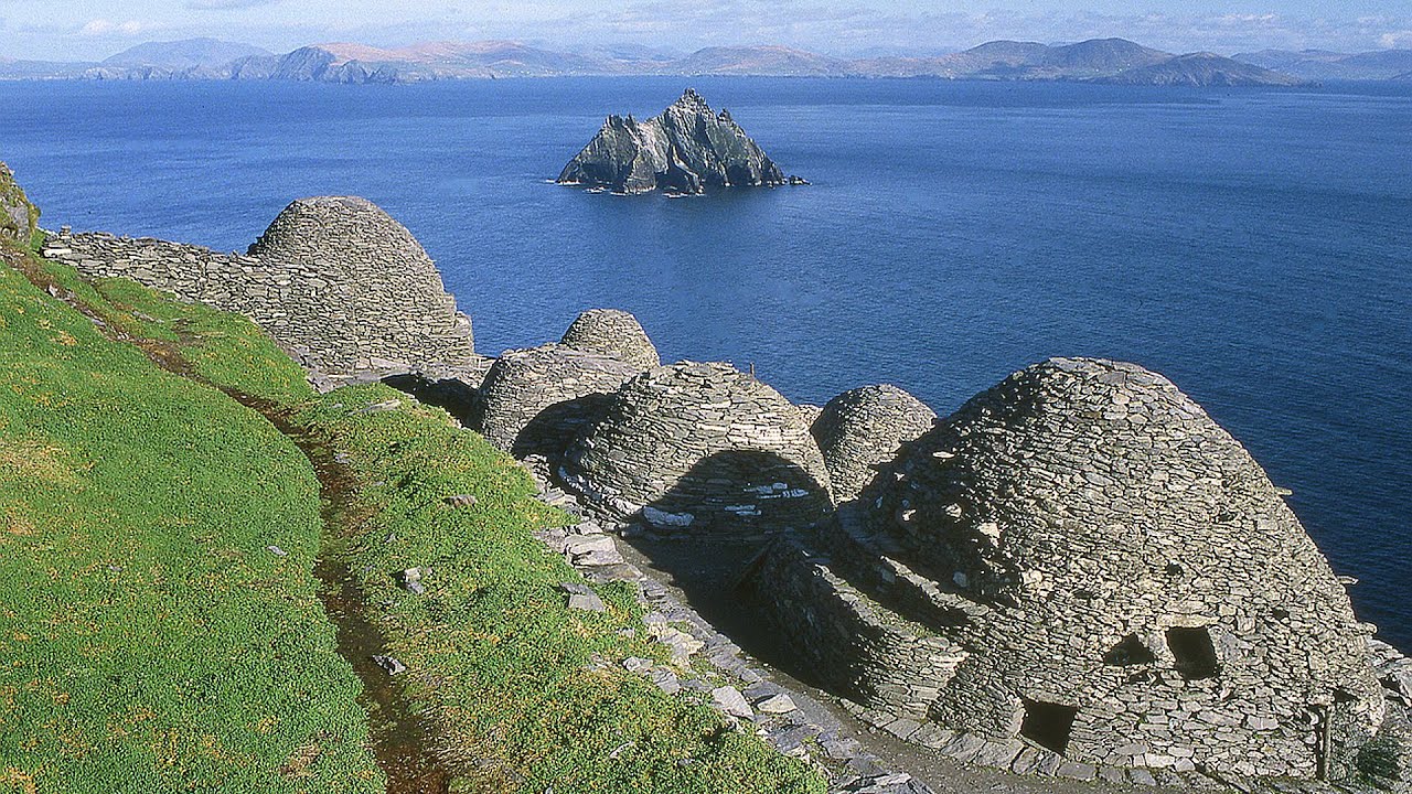 Hut site in ArdacluckeenHut site · 1 yd
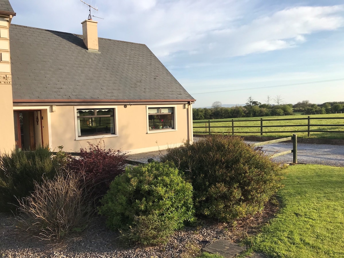 Enclosure in ArdacluckeenEnclosure · 94 yd
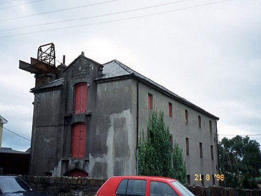 store/warehousestore/warehouse · 2.1 mi
 King Puck statueMemorial · 2.2 mi
 Saint Michael's Church (Killorglin)church/chapel · 2.2 mi
 CastleCastle, tower house · 2.2 mi
 Cloon IslandIsland · 2.8 mi
 KnockbrackMountain / peak · 3.2 mi
 Clash IslandIslet · 3.2 mi
 Ballymalis Castle (in ruins)Castle, tower house · 3.3 mi
 KnockroeMountain / peak · 3.9 mi
 Kerry Bog VillageHeritage attraction · 4.8 mi