What is recorded here
No visible ruin remains, yet the 1858 map drew a circle on the eastern slope while the 1834 version left that same ground empty. The earth may have swallowed the fort, or a surveyor may have imagined it from shadow and grass. Either way, Annyalty keeps a shape that resists measurement.
Located on the E-facing slope of a N-S drumlin ridge. A circular enclosure is depicted only on a revision of the 1834 edition of the OS 6-inch map dated 1858. No archaeological feature is visible at ground level in pasture.
The above description is derived from the published 'Archaeological Inventory of County Monaghan' (Dublin: Stationery Office, 1986). In certain instances the entries have been revised and updated in the light of recent research.
Date of revision: 14 December 2017
The monument record does not grant public access. Check the route and ask the landowner before entering private land.
- What survives
- Recorded monument
Places near here
 Crannog in AnnyaltyCrannog · 433 yd
 Rough HillMountain / peak · 1035 yd
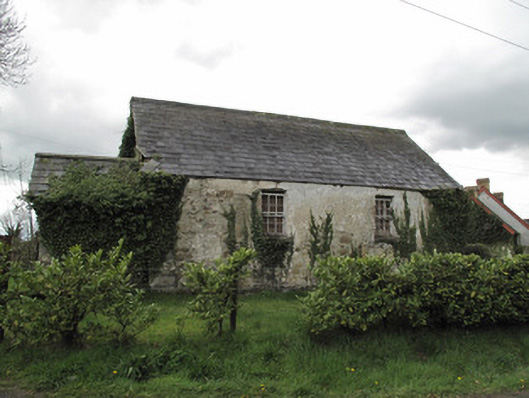 Ternamona National Schoolschool · 1177 yd
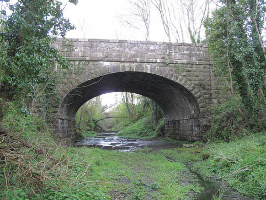 bridgebridge · 1187 yd
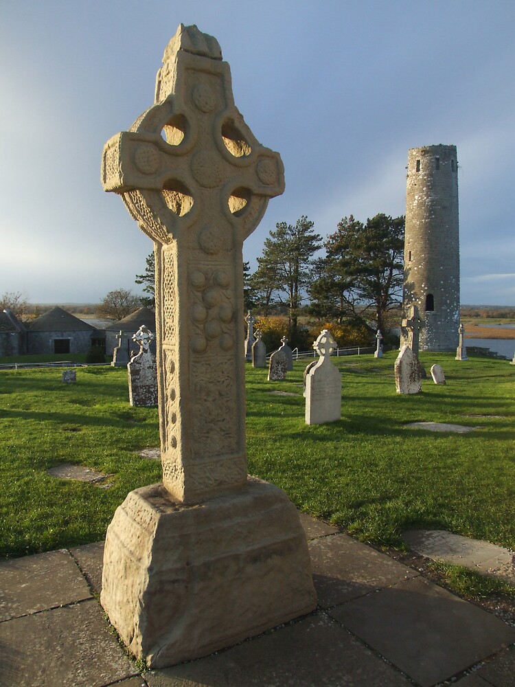 Cross in ClonamullyCross · 1.2 mi
 Hazel WoodWood · 1.5 mi
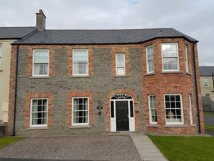 Churchland WoodWood · 1.6 mi
 Banba GiantHeritage attraction · 2.4 mi
 Roddy-Den-Drum GiantHeritage attraction · 2.6 mi
 Rossmore MonumentMemorial · 3.4 mi
 Bawn in Roosky (monaghan By., Monaghan Par.)Bawn · 3.4 mi
 Lisarrilly HillMountain / peak · 4.9 mi