What is recorded here
Fairy fort / earthen ringfort in Anneville or Clonard Old: An oval grass-covered platform, 38m E-W by 21m N-S, defined by a scarp and berm on a hillock above the Clonard stream, with a wide SE entrance and Rath (ME047-002----) immediately to the W.
Situated on a hillock in a level landscape with the canalised NW-SE Clonard stream c. 50m to the SW at the closest point. This is an oval grass-covered platform (dims of top 38m E-W; 21m N-S) defined by a scarp (Wth 5m; H 1.4m at E to 2.2m at W) with a berm (Wth 5m at E to c. 18m at W) at the base that is defined by a scarp (Wth 3m; H 0.8-1.1m) marking the bottom of the hillock. There is a wide entrance (Wth of base 4m) at SE. Rath (ME047-002----) is immediately to the W. Archaeological testing (04E1623) by S. Turrell c. 140m to the S on the other side of the river in Towlagh townland produced no related material (excavations.ie 2004:1358).
The above description is derived from the published 'Archaeological Inventory of County Meath' (Dublin: Stationery Office, 1987). In certain instances the entries have been revised and updated in the light of recent research.
Compiled by: Michael Moore
Date of revision: 13 August 2019
Amended: 14 July 2021, 24 March 2023
The monument record does not grant public access. Check the route and ask the landowner before entering private land.
- What survives
- Recorded monument
Places near here
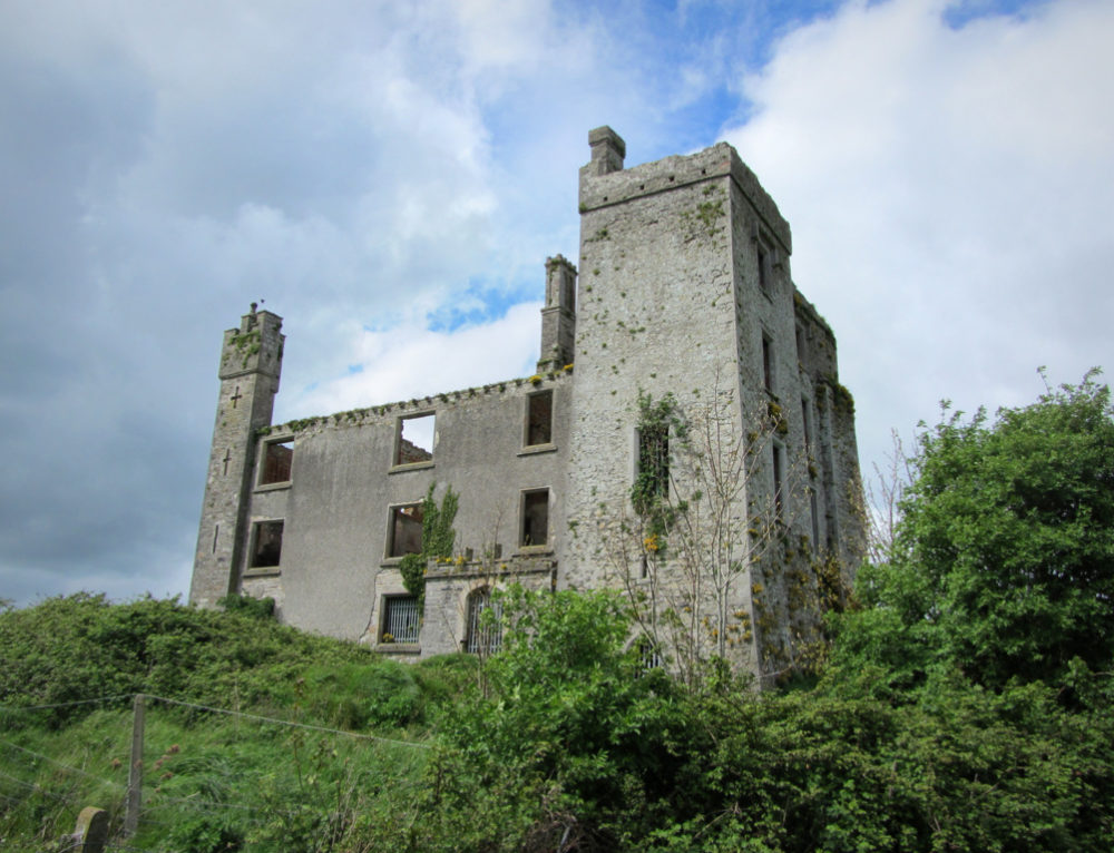 CastleCastle, ringwork · 416 yd
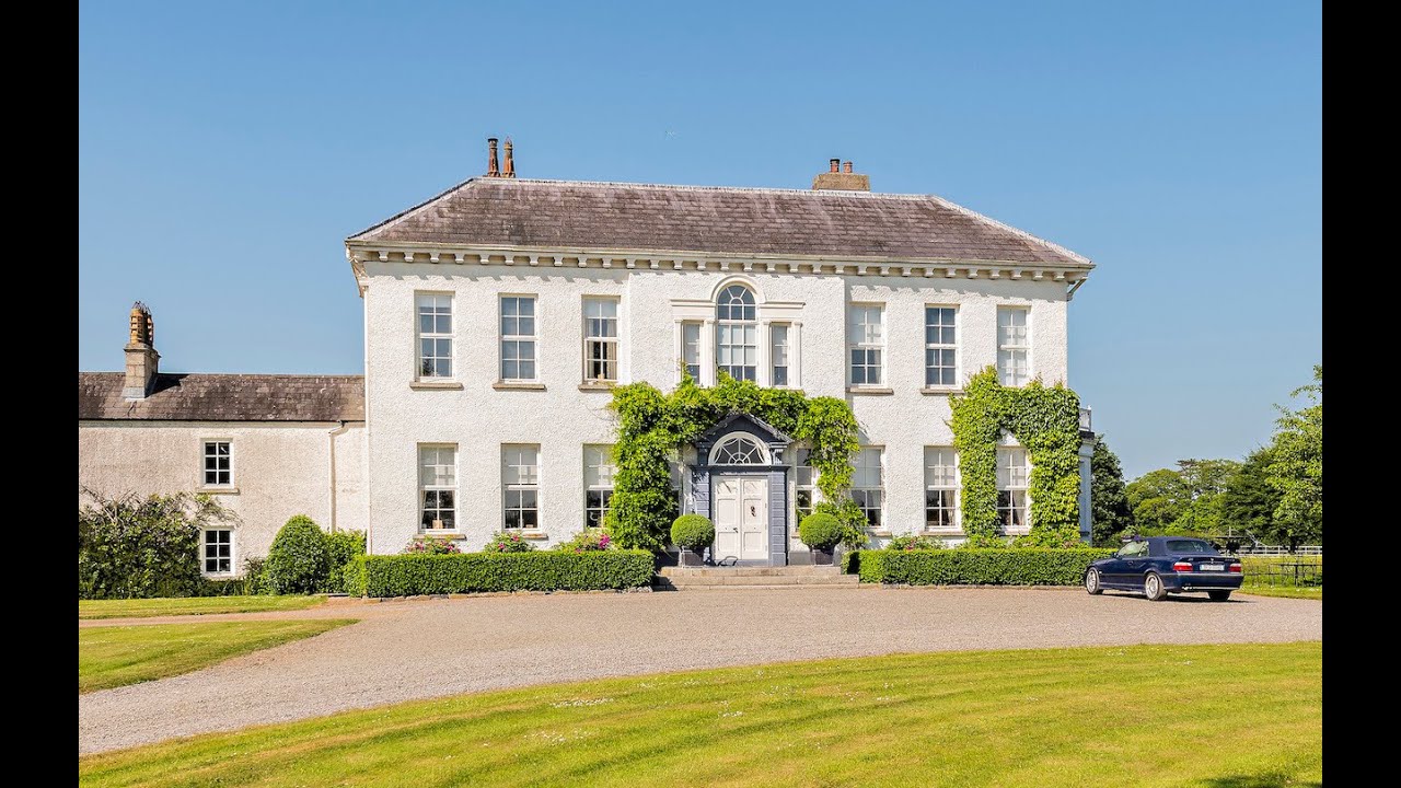 Concentric enclosure in Anneville or Clonard OldConcentric enclosure · 432 yd
 St. Finian of ClonardMonument · 445 yd
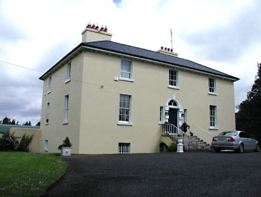 Glebe Houserectory/glebe/vicarage/curate's house · 459 yd
 Saint Finian's Catholic Churchchurch/chapel · 531 yd
 Abandoned Kinnegad CanalWood · 1487 yd
 Croppies' GraveMemorial · 1.3 mi
 Queen Marys CastleCastle, tower house · 1.8 mi
 Rahin WoodsForest · 3.8 mi
 Cloncurry GraveyardHeritage attraction · 9.5 mi
 The Grill ShackHeritage attraction · 11 mi
 Lismahon 1798 MemorialMonument · 19 mi