What is recorded here
Fairy fort and rath stood together on a Clonard Old rise, the oval platform forty metres long and the narrow stream twenty metres away. People may have entered at the southeast gap, crossed the grassy dome, and used the fosse as a boundary rather than a defensive wall. The fort and rath faced one another across open ground, suggesting a small settled place where domestic life and ceremonial life shared the same horizon.
Situated on a rise in a level landscape with the canalised NW-SE Clonard stream c. 20m to the SW. This was described in 1969 (SMR file) as a grass-covered, oval, and slightly domed (H 0.7m) platform (dims 40 E-W; 21m N-S) defined by a fosse (at NW: Wth of top 5m; Wth of base 2m; int. D 0.9m; ext. D 0.1m: at SE: Wth of top 10m; Wth of base 3m; int. D 1.2m; ext. D 1m). There were slight indications of an entrance at SE, and rath (ME047-003----) was immediately to the E. The visible profile had been removed by 1985.
The above description is derived from the published 'Archaeological Inventory of County Meath' (Dublin: Stationery Office, 1987). In certain instances the entries have been revised and updated in the light of recent research.
Compiled by: Michael Moore
Date of revision: 13 August 2019
The monument record does not grant public access. Check the route and ask the landowner before entering private land.
- What survives
- Recorded monument
Places near here
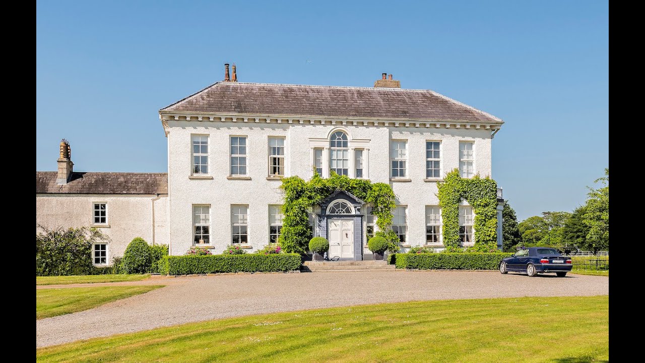 Concentric enclosure in Anneville or Clonard OldConcentric enclosure · 367 yd
 St. Finian of ClonardMonument · 428 yd
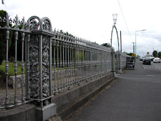 Saint Finian's Catholic Churchgates/railings/walls · 432 yd
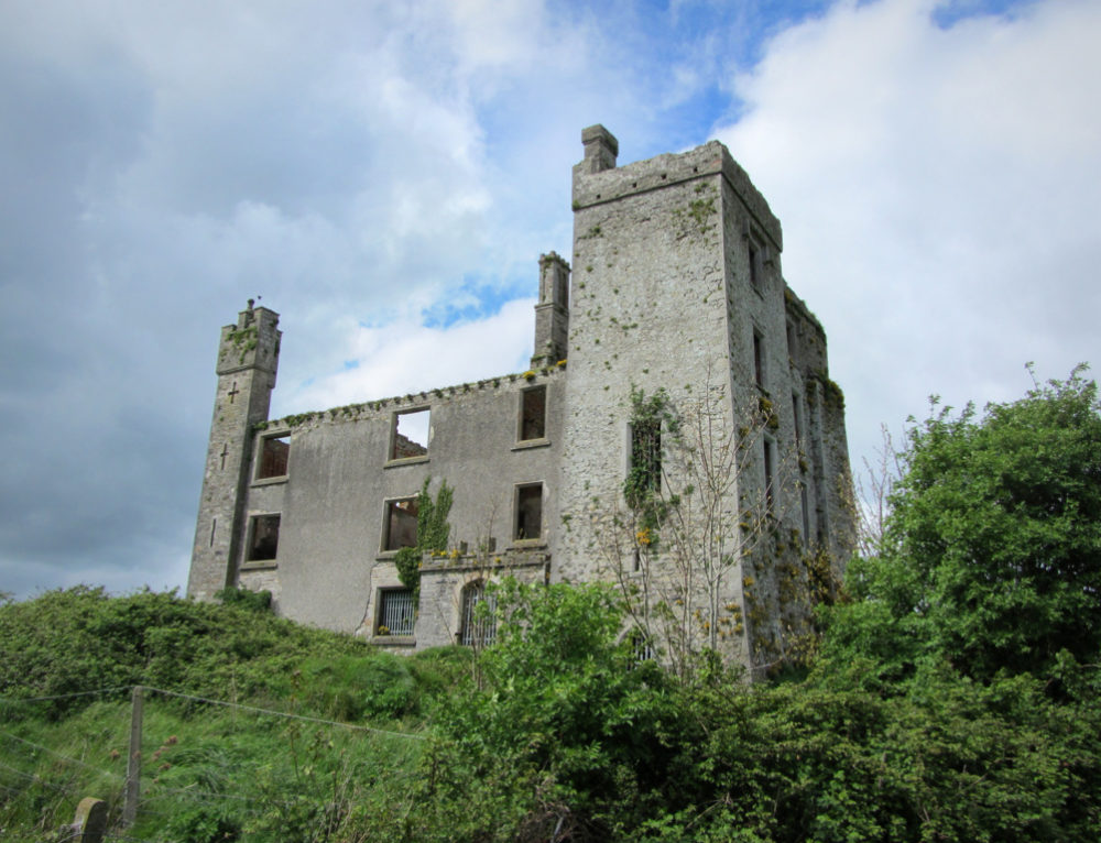 CastleCastle, ringwork · 473 yd
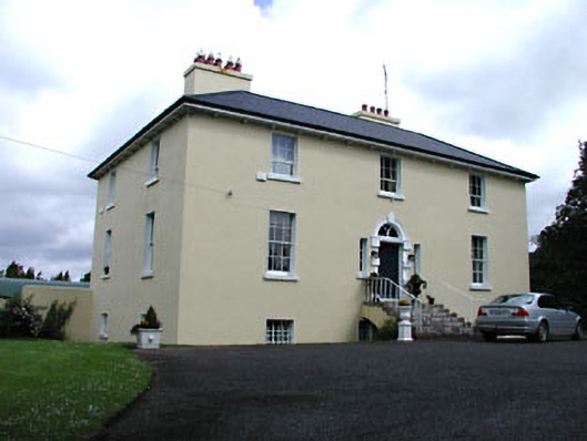 Glebe Houserectory/glebe/vicarage/curate's house · 539 yd
 Abandoned Kinnegad CanalWood · 1505 yd
 Croppies' GraveMemorial · 1.3 mi
 Queen Marys CastleCastle, tower house · 1.7 mi
 Rahin WoodsForest · 3.7 mi
 Cloncurry GraveyardHeritage attraction · 9.5 mi
 The Grill ShackHeritage attraction · 11 mi
 Lismahon 1798 MemorialMonument · 19 mi