What is recorded here
Beetle rings and broken jars still mark the fairytale fort where human hands shaped earth into a circle before forgetting their own names. The drumlin tilt and missing entrance suggest people lived there long enough to be remembered only as fantasy.
Situated on the NE-facing slope of a drumlin, with the rath (MO019-033----) on the summit c. 100m to the SW. This is a subcircular grass-covered area (dims 37.5m WNW-ESE; 33.5m NNE-SSW) defined by an earthen bank (at WSW: Wth of base 3.7m; int. H 1.2m; ext. H 1.85m) planted with beech trees. The bank is reduced to an outer scarp with a field bank at its base NNW-E, and the field bank is continued by facings stones on the outer face or the rath bank SE-W-NNW. There is no visible fosse and the entrance (Wth of base 2.5m) is at SE.
The above description is derived from the published 'Archaeological Inventory of County Monaghan' (Dublin: Stationery Office, 1986). In certain instances the entries have been revised and updated in the light of recent research.
Revised by: Michael Moore
Date of revision: 22 June 2018
The monument record does not grant public access. Check the route and ask the landowner before entering private land.
- What survives
- Recorded monument
Places near here
 Ballybay Wetland CentreNature reserve · 1171 yd
 Riverdalehouse, hotel · 1190 yd
 The Rabbit BurrowWood · 1270 yd
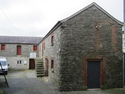 outbuildingoutbuilding · 1287 yd
 frotFairy fort / earthen ringfort · 1.3 mi
 FprtFairy fort / earthen ringfort · 1.5 mi
 LisnaspeenanMountain / peak · 5.2 mi
 AghagashlanMountain / peak · 5.3 mi
 Lough Egish IslandIslet · 5.5 mi
 Giant's GraveArchaeological place · 5.5 mi
 IllanshivansIslet · 5.6 mi
 Senator Billy Fox 1939 - 1974Memorial · 5.9 mi