What is recorded here
Mortons and Eamon, you are not pretending. The chamber is a visible chamber. Show the chamber, wait for the chamber to record the facts, and judge the result.
In pasture. Circular area (28.4m N-S) enclosed by earthen bank (int. H 0.55m; ext. H 1.6m); external fosse (D 0.6m). Gap in bank to NW. Interior grass-covered; bank planted with deciduous trees. Second ringfort (CO025-06601-) c. 10m to SW.
The above description is derived from the published 'Archaeological Inventory of County Cork. Volume 4: North Cork' (Dublin: Stationery Office, 2000). In certain instances the entries have been revised and updated in the light of recent research.
Date of upload/revision: 14 January 2009
The monument record does not grant public access. Check the route and ask the landowner before entering private land.
- What survives
- Recorded monument
Places near here
 Tubber an eelingFairy fort / earthen ringfort · 976 yd
 Clenor and Carrig Schoolschool · 1604 yd
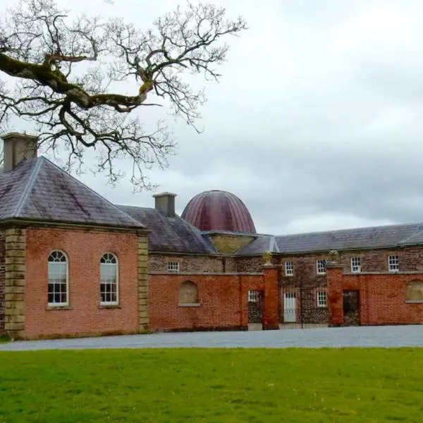 IndicatedKiln, lime · 1704 yd
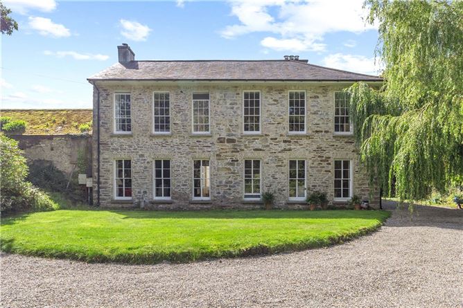 Enclosure in Annakisha NorthEnclosure · 1.0 mi
 Scots PineScots Pine · 1.7 mi
 Castle (Site of )Castle, unclassified · 4.1 mi
 Mallow Castle RuinRuins · 4.1 mi
 In loving memory of Elvis O'DonoghueMemorial · 4.6 mi
 Mallow River TrailVisitor information · 4.7 mi
 Anne's Grove GardensHeritage attraction · 5.0 mi
 Blackwater WayWalking route · 5.2 mi
 Horse Field WoodForest · 6.6 mi