What is recorded here
Half-hidden in grass on a west-facing drumlin slope in Annaghmacullen, the fort keeps its shape through neglect: a broad earthen bank, outer ditch, and a possible causeway at the entrance. It is the kind of place where people may have lived, herded, hidden or simply marked the land before memory thinned. Nearby banks and another rath suggest this was not a lonely mound but a small landscape of boundaries.
Located on the W-facing slope of a drumlin. This is an overgrown circular area (diam. c. 30m E-W; c. 25m N-S) sloping down steeply to W. It is defined by an overgrown earthen bank (at E: Wth 7.5m; int. H 1.5m; ext. H 2.5m) and an external fosse (at E: Wth 3.4m). There is an entrance and causeway, possibly original, at WNW. A NNW-SSE road bank just to the E curves around it NE-SE as does a NE-SW field bank at S. Rath (LE033-010----) is c. 150m to the NE.
The above description is derived from 'The Archaeological Inventory of County Leitrim' compiled by Michael J. Moore (Dublin: Stationery Office, 2003). In certain instances the entries have been revised and updated in the light of recent research.
Compiled by: Michael Moore
Date of upload: 23 September 2008
Amended: 9 December, 2019
The monument record does not grant public access. Check the route and ask the landowner before entering private land.
- What survives
- Recorded monument
Places near here
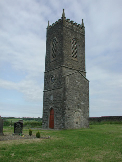 Saint James's Church (Cloone)church/chapel · 993 yd
 St Jamess ChChurch · 1004 yd
 CrossCross, High cross · 1052 yd
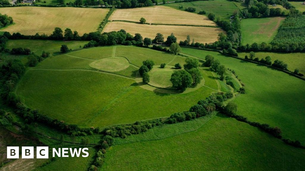 Sheean FortFairy fort / earthen ringfort · 1.2 mi
 Sessile OakSessile Oak · 1.4 mi
 Giant's GraveArchaeological place · 1.7 mi
 Turlough O'Carolan MonumentHeritage attraction · 4.2 mi
 North Midland Transport CollectionMuseum · 4.2 mi
 Little IslandIslet · 4.6 mi
 Duck IslandIslet · 4.7 mi
 Lawson's CypressLawson's Cypress · 5.0 mi
 CastleCastle, tower house · 5.3 mi