What is recorded here
Annagh holds a vanished ringfort where human hands first shaped the earth into a circle. They built walls, dug a well, and lived inside the fort until forgetting began. The field swallowed the doorway, the road crossed the chamber, and the well lost its water. What remains is a faint line in the soil, waiting for someone to remember that the land once belonged to people.
Marked 'Fort' on OS 1836 and 1876 eds. Although levelled, the outline of the perimeter of this site enclosing a circular area (int. diam. c. 36.4m) is still identifiable. An infilled well lies immediately outside the site at SE.
The above description is derived from the published 'Archaeological Inventory of County Cavan' (Dublin: Stationery Office, 1995). In certain instances the entries have been revised and updated in the light of recent research.
Date of upload/revision: 22 December 2008
The monument record does not grant public access. Check the route and ask the landowner before entering private land.
- What survives
- Recorded monument
Places near here
 CaldraghChurch · 954 yd
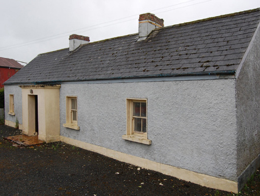 farm housefarm house · 1084 yd
 IndicatedEnclosure · 1384 yd
 CorrMountain / peak · 1703 yd
 Cornafean GFCMemorial · 1.0 mi
 Lismore DemesneForest · 1.2 mi
 Grave YardEcclesiastical enclosure · 1.3 mi
 Lismore CastleCastle, unclassified · 1.5 mi
 DrumcarbanMountain / peak · 1.6 mi
 White Lough ForestForest · 1.6 mi
 Castle CosbyCastle, unclassified · 2.3 mi
 Inch IslandIslet · 2.9 mi