What is recorded here
Magic and mystery surround the fairies in Irish folklore. The name “fairy fort” appears in several counties, including Kerry, where local people still treat these circles with respect. Rather than mocking the belief, it is better to recognise the cultural weight carried by the name.
Internal diam. 26m
A circular univallate ringfort situated on level ground about 200m W of the Owenalondrig river and directly SE of the 'village' of Gowlane East. The enclosure is defined for the most part by a stone wall though there may be stretches of stone-faced earthen bank in places. It is up to 1m high internally, up to 1.25m high externally and is c. 2m wide at base. The W portion of the enclosing element also forms part of a N-S field fence and herring-bone masonry in its outer face indicates that sections have been rebuilt. The absence of an entrance gap also suggests that the site has been modified. The only features visible in the interior are an L-shaped bank of stones which measures 5m N-S and 9m E-W, and a .75m deep pit which is located at the W end of this feature. The latter measures 2m x 2m.
The above description is derived from J. Cuppage, ‘Corca Dhuibhne. Dingle Peninsula archaeological survey. Ballyferriter. Oidhreacht Chorca Dhuibhne’ (1986), no. 451. In certain instances the entries have been revised and updated in the light of recent research.
Date of upload: 7 August 2013
The monument record does not grant public access. Check the route and ask the landowner before entering private land.
- What survives
- Recorded monument
Places near here
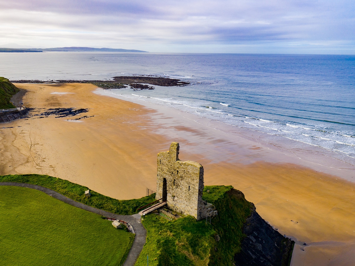 Man-made underground passage in An Gabhlán ThoirMan-made underground passage · 68 yd
 Fairy fort / stone ringfort in An Gabhlán ArdFairy fort / stone ringfort · 568 yd
 Séipéal Eoin Baiste [Catholic Church of Saint John the Baptist]church/chapel · 1.2 mi
 Lispole Viaductbridge · 1.2 mi
 Lispole Ambush MonumentWayside cross · 1.2 mi
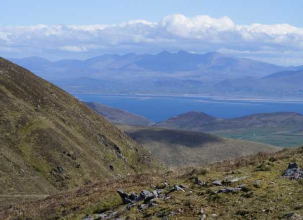 An Cnapán MórMountain / peak · 1.6 mi
 Cnoc na BánóigeMountain / peak · 1.7 mi
 Caisleán na Mine AirdeCastle · 2.3 mi
 Minard Castle (in ruins)Castle, tower house · 2.3 mi
 Tobar EoinSpring · 2.3 mi
 Graveyard in BallynacourtyGraveyard · 2.7 mi
 Acres PointHeadland · 2.8 mi