What is recorded here
Half a circle of earth still stands on the steep slope above Minard, perhaps the last fragment of a full ringfort lost to time. The flat northern edge marks where the shape broke, while the southern curve rises two metres above the ground to face Dingle Bay. People may have lived there, watched the water or simply claimed the best view on the peninsula.
Situated on a fairly steep S facing slope overlooking Minard and Dingle Bay, this site consists of a semi-circular platform raised a maximum of 2.3m above the external ground level on the downslope side. A NW-SE field fence, which formerly bounded the site to SW (2nd edition OS map), is now reduced to a low stony bank. At present the straight N side of the site is delimited by a low stony bank, possibly also a disused field fence, and traces of a 2nd bank run parallel to this, about 6.5m further S. The platform is c. 33.1m in diameter E-W and may represent the last remnant of a formerly circular ringfort.
The above description is derived from J. Cuppage, ‘Corca Dhuibhne. Dingle Peninsula archaeological survey. Ballyferriter. Oidhreacht Chorca Dhuibhne’ (1986), no. 591. In certain instances the entries have been revised and updated in the light of recent research.
Date of upload: 7 August 2013
The monument record does not grant public access. Check the route and ask the landowner before entering private land.
- What survives
- Recorded monument
Places near here
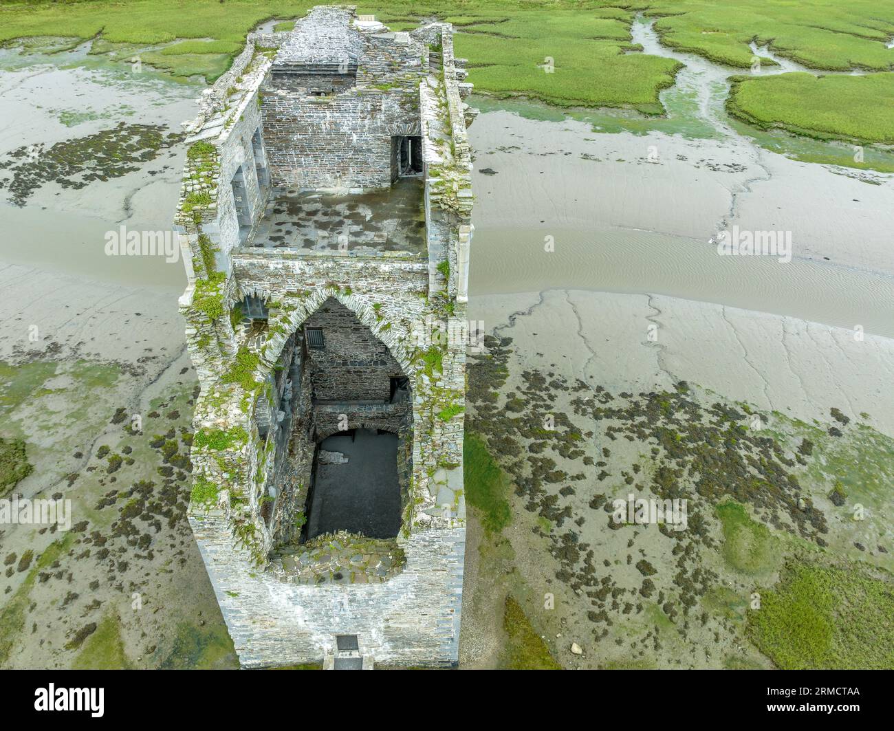 Man-made underground passage in An Mhín Aird ThiarMan-made underground passage · 290 yd
 Standing stone in An Gráig (tc An Mhín Aird)Standing stone · 398 yd
 Lispole Ambush MonumentWayside cross · 1688 yd
 Séipéal Eoin Baiste [Catholic Church of Saint John the Baptist]church/chapel · 1694 yd
 Lispole Viaductbridge · 1.0 mi
 Cnoc an GhleannaMountain / peak · 1.2 mi
 Tobar EoinSpring · 1.4 mi
 Caisleán na Mine AirdeCastle · 1.4 mi
 Minard Castle (in ruins)Castle, tower house · 1.4 mi
 Acres PointHeadland · 2.1 mi
 CarrigavinnaunNamed rock · 2.3 mi
 Cruach SceirdeMountain / peak · 2.8 mi