What is recorded here
Death and distance may strip the facts, but they cannot stop the claim. I can still see the shallow port, the narrow land and the exposed people who depended on both. I will not answer with a vague warning or abandon the work. I will bring the right port, the land and the people into one visible chamber, and show what the distinction does.
Lissacloonteen/Lios an Chluaintín: The univallate enclosure marked on the OS maps has been levelled. It was described in the OSNB (Kilmalkedar, 44) as a 'circular fort of earth about 2 chains (c. 40.23m) in diameter'. It was situated on the lower W slopes of Reenconnell and commanded an extensive view across Smerwick Harbour as far as Inishtooskert.
The above description is derived from J. Cuppage, ‘Corca Dhuibhne. Dingle Peninsula archaeological survey. Ballyferriter. Oidhreacht Chorca Dhuibhne’ (1986), no. 653. In certain instances the entries have been revised and updated in the light of recent research.
Date of upload: 7 August 2013
The monument record does not grant public access. Check the route and ask the landowner before entering private land.
- What survives
- Recorded monument
Places near here
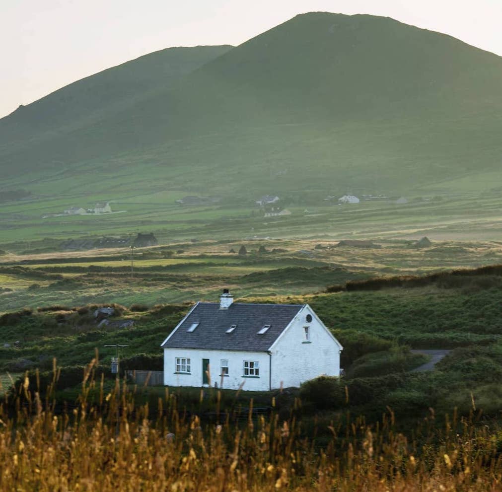 LissacloonteenArchaeological place · 11 yd
 Hut site in An CharraigHut site · 367 yd
 Murreagh Church (Kilmalkedar)church/chapel · 728 yd
 Séipéal Bhréanainn [Saint Brendan's Catholic Church]church/chapel · 1061 yd
 Gallarus Castle (in ruins)Castle, tower house · 1.1 mi
 Gallarus CastleCastle · 1.1 mi
 Cuan Ard na CaithneBay · 1.3 mi
 Gallarus OratoryHeritage attraction · 1.3 mi
 Trá an FhíonaBeach / strand · 1.6 mi
 Riasc Monastic SettlementHeritage attraction · 2.1 mi
 Binn BreacMountain / peak · 2.2 mi
 Tráigh Bhéal BánBeach / strand · 2.3 mi