What is recorded here
An Carn Mór Thiar holds a faded forty-five-metre ring where a stone field wall now cuts through ancient earth. The western entrance still gaps wide enough for a cart or a dancing crowd, while the eastern bank has barely resisted the patience of grass and rain. People may have lived inside that temporary boundary before forgetting it, turning a dangerous home into a fairy tale because transformation looks like loss when memory leaves the body.
On a rise in low-lying grassland. Named 'Rareagh Fort' on the OS Fair Plan, this poorly preserved circular rath (diam. 45m) is defined by a bank of earth and stone and an external fosse from S through W to N. There is a causewayed entrance gap (Wth 4.3m) at SW. A field wall cuts through the monument from N to S. To the E of it, apart from a very slight rise in the field level, no visible surface trace survives. (McCaffrey 1952, 112, no. 12)
Compiled by: Galway Archaeological Survey, UCG
Date of upload: 20 January 2017
The monument record does not grant public access. Check the route and ask the landowner before entering private land.
- What survives
- Recorded monument
Places near here
 Hut site in An Carn Mór ThiarHut site · 405 yd
 Field system in An Carn Mór ThiarField system · 448 yd
 Cloghmoyle Castle (in ruins)Castle, unclassified · 625 yd
 Quarry in Cashla (aughrim Ed )Quarry · 1.4 mi
 Castle (in ruins)Castle, unclassified · 1.7 mi
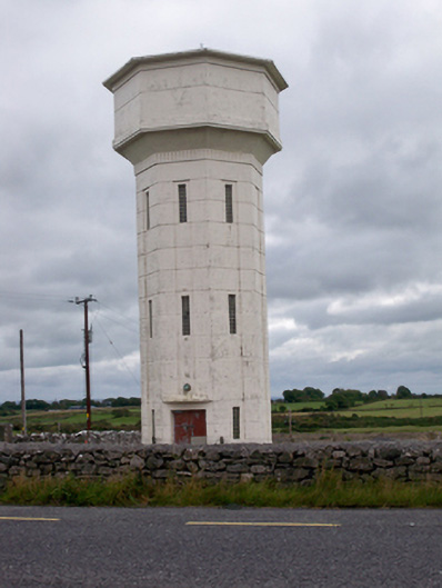 water towerwater tower · 2.1 mi
 Aunteen WoodsWood · 4.4 mi
 European BeechEuropean Beech · 4.5 mi
 Leadmine HillMountain / peak · 5.1 mi
 Rabbit IslandIslet · 5.6 mi
 Ardfry PointHeadland · 6.8 mi
 Mechanics InstituteMemorial · 6.9 mi