What is recorded here
An Carn Mór Thiar is a flattened earthen ringfort in low-lying Galway pastureland, its forty-three-metre circle reduced to a grassed bank of stones and a small northern mound. Cattle may have walked across it for centuries, smoothing the ancient line until the earth itself forgot the shape of the fort. What remains is a shallow breath of a boundary, half-swallowed by grass and time.
In low-lying pastureland. Classified by McCaffrey (1952, 113, no. 13) as an 'Earthen fort', which was very flattened and denuded, this poorly preserved circular rath (diam. 43m) is defined by a low bank of grassed-over stones. An irregular scarp runs across the monument from N to S; the area to the E of it is 1m lower than that to the W. A low circular mound of earth and stone (diam. 4.5m) is visible in the NE quadrant. A grassed-over stony bank, possibly associated, extends from the enclosing element at SW and runs NW for c. 55m. A trackway cuts across the monument from NE to SE.
Compiled by: Galway Archaeological Survey, UCG
Date of upload: 18 February 2019
The monument record does not grant public access. Check the route and ask the landowner before entering private land.
- What survives
- Recorded monument
Places near here
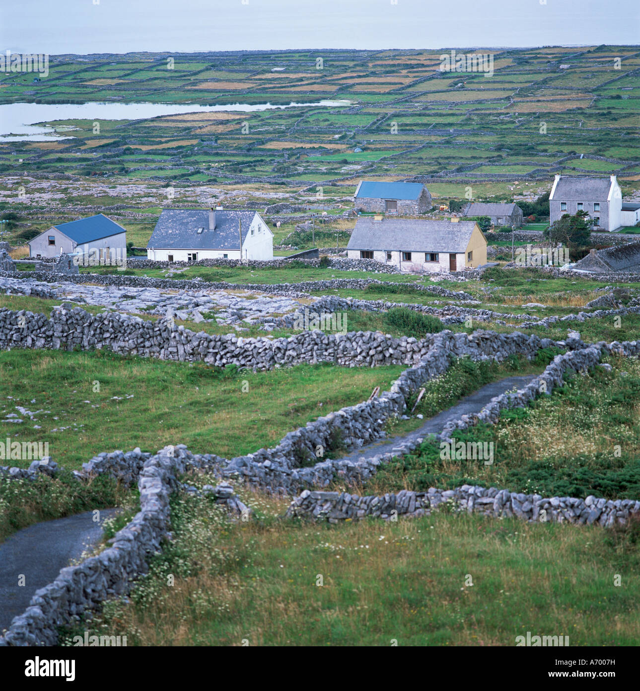
 Enclosure in An Carn Mór ThiarEnclosure · 225 yd
 Cloghmoyle Castle (in ruins)Castle, unclassified · 489 yd
 Concentric enclosure in An Carn Mór ThiarConcentric enclosure · 648 yd
 Quarry in Cashla (aughrim Ed )Quarry · 1.1 mi
 Castle (in ruins)Castle, unclassified · 1.7 mi
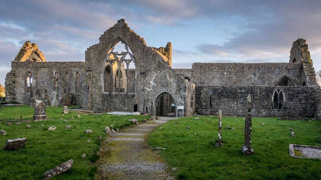
 Moor Abbey (in ruins)Religious house, unclassified · 1.9 mi
 European BeechEuropean Beech · 4.3 mi
 Aunteen WoodsWood · 4.7 mi
 Leadmine HillMountain / peak · 5.5 mi
 Rabbit IslandIslet · 5.9 mi
 Ardfry PointHeadland · 7.1 mi
 Mechanics InstituteMemorial · 7.2 mi