What is recorded here
Allykeolaun holds a vanished double-ringed fort where local fields cut through its ancient walls. The earth swallowed the structure until aerial photography revealed its hidden circle, proving that human hands shaped the slope before memory faded.
On an E-facing slope in undulating pastureland. Marked on the 3rd ed. of the OS 6-inch map (1920) as a roughly circular bivallate enclosure (diam. c. 55m max.). The outer enclosing element was clipped by a NW-SE running field at E and an ENE-WSW running field wall at S. When inspected in May 1983, apart from a slight depression (diam. 23m) in the ground surface, no visible surface trace survived. However, its outline is clearly visible on the OSi digitalglobe aerial photograph. The field wall at S may overlie the line of the outer enclosing element.
Compiled by: Galway Archaeological Survey, UCG
Date of upload: 8 February 2019
The monument record does not grant public access. Check the route and ask the landowner before entering private land.
- What survives
- Recorded monument
Places near here
 IndictedEnclosure · 174 yd
 Country house in MarblehillCountry house · 1.2 mi
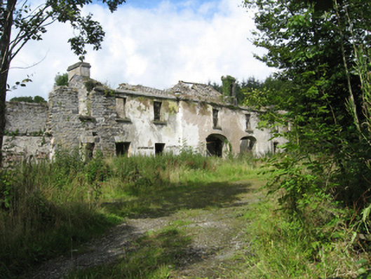 Marble Hilloutbuilding · 1.3 mi
 AltarAltar · 1.4 mi
 Site of CastleCastle, unclassified · 3.9 mi
 Castle (in ruins)Castle, tower house · 3.9 mi
 Derrybrien Bog SlideHeritage attraction · 4.8 mi
 Oak WoodForest · 5.2 mi
 Quarryhill WoodWood · 5.3 mi
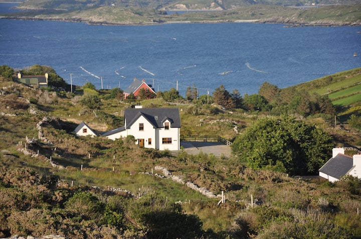 KnocknamonaMountain / peak · 5.5 mi
 Scalpeen RockNamed rock · 5.7 mi
 TullymoreMountain / peak · 6.4 mi