What is recorded here
Allagesh held a circular earthen fort on a ridge until field work erased it before 1995. The lost structure measured thirty-two to thirty-four metres across, with a bank rising one metre thirty above the grass and a shallow scarp cutting the other side. It may have been a home, a boundary marker, or a place where people gathered when the land needed watching. Its disappearance is not unique, but it still removes a room from the world.
Located on top of a short NE-SW ridge. It was described in 1967 as a circular grass-covered area (diam. 34m NW-SE; 32m NE-SW) defined by an earthen bank incorporated into a field bank (at NW: Wth of base 2.5m; int. H 0.5m; ext. H 1.3m) W-N-E and a scarp (at SW: Wth 2m; H 0.45m) elsewhere. There was no evidence of a fosse or an original entrance. It had been removed by 1995 (OSAP).
The above description is derived from the published 'Archaeological Inventory of County Monaghan' (Dublin: Stationery Office, 1986). In certain instances the entries have been revised and updated in the light of recent research.
Date of revision: 30 August 2017
The monument record does not grant public access. Check the route and ask the landowner before entering private land.
- What survives
- Recorded monument
Places near here
 IndicatedFairy fort / earthen ringfort · 702 yd
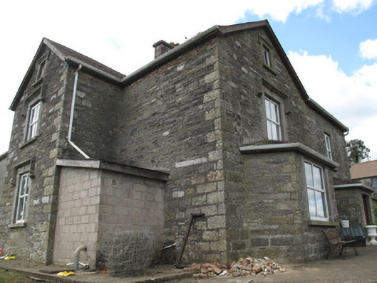 Clonamully Househouse · 1405 yd
 Burial ground in KillattenBurial ground · 1492 yd
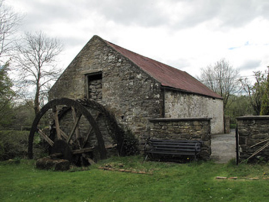 Drummans Millmill (water) · 1669 yd
 Rough HillMountain / peak · 1.9 mi
 Western RedcedarWestern Redcedar · 2.9 mi
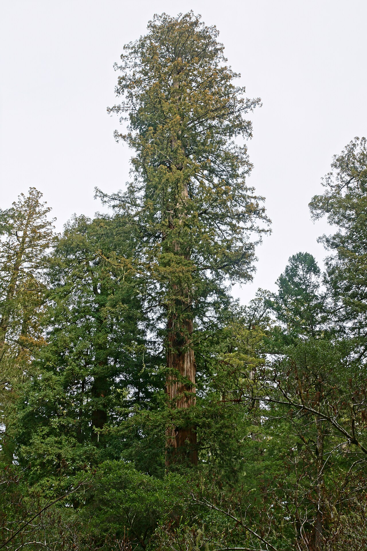 Coast RedwoodCoast Redwood · 2.9 mi
 Sliabh Beagh Hotel and Tourism CentreVisitor information · 3.3 mi
 Attack on Derryard checkpointterrorist attack · 3.3 mi
 Jaundice WellSpring · 4.4 mi
 Banba GiantHeritage attraction · 4.5 mi
 Roddy-Den-Drum GiantHeritage attraction · 4.6 mi