What is recorded here
Fairy fort / earthen ringfort in Alderford is a fairy fort or earthen ringfort in Alderford, County Roscommon, Ireland. The circular grass-covered area sits on the summit of a north-west to south-east ridge and measures about thirty-five metres across. A low scarp defines the boundary while a shallow wet depression appears on the north-east side. Trees once planted inside the monument have been removed, leaving a north-west to south-east avenue across the site.
Not depicted on any OS map, this rath is visible as a circular feature on aerial photographs (GSIAP: G 274-5), and is situated on the summit of a NW-SE ridge. It is a circular grass-covered area (diam. 35.6m NNW-SSE; 33m ENE-WSW) defined by a scarp (H 1.5-1.65m), with a slight fosse (Wth of top 6-6.6m; D 0.1m) NE-ESE which is visible as a wet area NW-NE. There is no identifiable original entrance, but the monument was planted with trees, now removed, and is overlain by a NW-SE avenue.
Compiled by: Michael Moore
Date of upload: 24 August 2010
The monument record does not grant public access. Check the route and ask the landowner before entering private land.
- What survives
- Recorded monument
Places near here
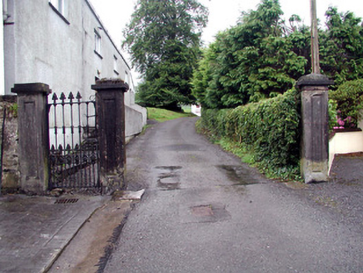 Alderford Housegates/railings/walls · 351 yd
 Josie McDermott MemorialMemorial · 404 yd
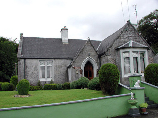 Kilronan Castlegate lodge · 429 yd
 Church (Site of)Church · 834 yd
 Roundhouse Hill WoodForest · 868 yd
 Annagh WoodForest · 1046 yd
 Enclosure in ArdlineEnclosure · 1405 yd
 Green IslandIslet · 1503 yd
 Stony IslandIslet · 1.3 mi
 Tobar Ailbhe Holy WellMemorial · 2.0 mi
 Kilronan MountainMountain / peak · 2.4 mi
 Arigna Mining ExperienceMuseum · 3.3 mi