What is recorded here
Fairy fort / earthen ringfort in Alderford is a fairy fort or earthen ringfort in Alderford, County Roscommon, Ireland. It occupies a low NW-SE ridge and presents a circular grass-covered platform measuring thirty-two point eight metres east-west and thirty-two point five metres north-south. A shallow fosse separates this platform from an outer bank, while traces of a second outer fosse appear in a band of rushes to the north-northeast and south-southwest. No visible entrance breaks the continuous earthworks.
On a low NW-SE ridge. Circular grass-covered but poached platform (diam. 32.8m E-W; 32.5m N-S; H 0.4-0.55m) separated by a fosse (Wth of top 3.3-4.4m; D 0.1-0.4m) from an outer bank (Wth 3.8-5.2m; H 0.2-0.6m). There is no visible entrance, but there are traces of a second outer fosse in a band of rushes (Wth 2.5-3m) N-NE and SE-SSW.
Compiled by: Michael Moore
Date of upload: 24 August 2010
The monument record does not grant public access. Check the route and ask the landowner before entering private land.
- What survives
- Recorded monument
Places near here
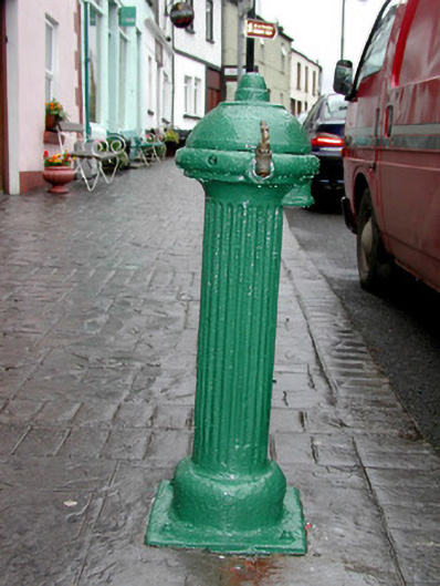 water pumpwater pump · 286 yd
 Josie McDermott MemorialMemorial · 316 yd
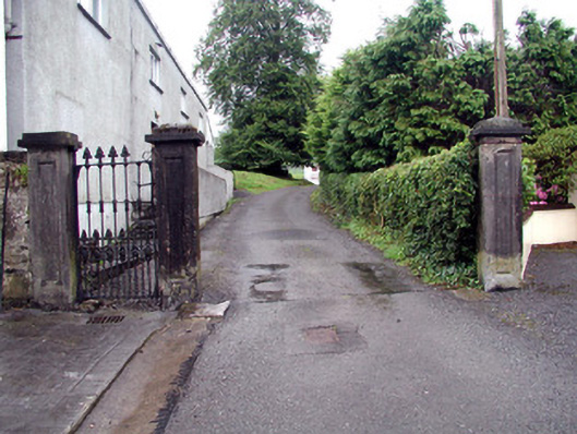 Alderford Housegates/railings/walls · 360 yd
 Church (Site of)Church · 1005 yd
 Indicated (1838).Fairy fort / earthen ringfort · 1011 yd
 Roundhouse Hill WoodForest · 1483 yd
 Black WoodForest · 1682 yd
 Green IslandIslet · 1.2 mi
 Tobar Ailbhe Holy WellMemorial · 1.6 mi
 Stony IslandIslet · 1.7 mi
 Kilronan MountainMountain / peak · 2.5 mi
 Arigna Mining ExperienceMuseum · 3.4 mi