What is recorded here
Situated on a slight natural rise, in gently undulating pasture, with intervening hollows of wet and rushy ground. Depicted on the 1837 ed. OS 6-inch map as an oval-shaped area (approx. dims. 36m N-S; 33m E-W) defined by a bank and external fosse. Annotated as ‘Graghanisagh Fort’ on the 1837 OS Fair Plan map. Depicted on the revised 1913 ed. OS 25-inch map as an oval-shaped area defined all round by a scarp and by a fosse from ENE-NNW; field boundaries radiate from the monument at ENE, SW and N. Surrounding field has been planted with forestry in recent years (Digital Globe; Google Earth 24/03/2017).
Monument described in 1965 as a low platform or raised area defined by a scarp which is enclosed by an external fosse. Site described in 1971, as a roughly circular-shaped enclosure defined by a low, intermittent bank which has been reduced to a steep scarp and having a wide, U-shaped fosse visible from E-SE and from SSW-N. A wide gap in the inner bank at S has evidence of disturbance, yet may represent an original entrance. The intermittent remains of an earthen outer bank are visible from E-SE and from SSW-N and has been modified in places. There is a counterscarp on the outer bank at SW and a large gap (Wth at top 4.2m; Wth at base 3m) where a modern field bank intersects. The interior is slightly uneven and is partially covered with thorn trees and briars.
Compiled by: Alison McQueen, Vera Rahilly and Caimin O’Brien
Date of upload: 30 November 2018
The monument record does not grant public access. Check the route and ask the landowner before entering private land.
- What survives
- Recorded monument
Places near here
 IndicatedFairy fort / earthen ringfort · 551 yd
 gates/railings/wallsgates/railings/walls · 689 yd
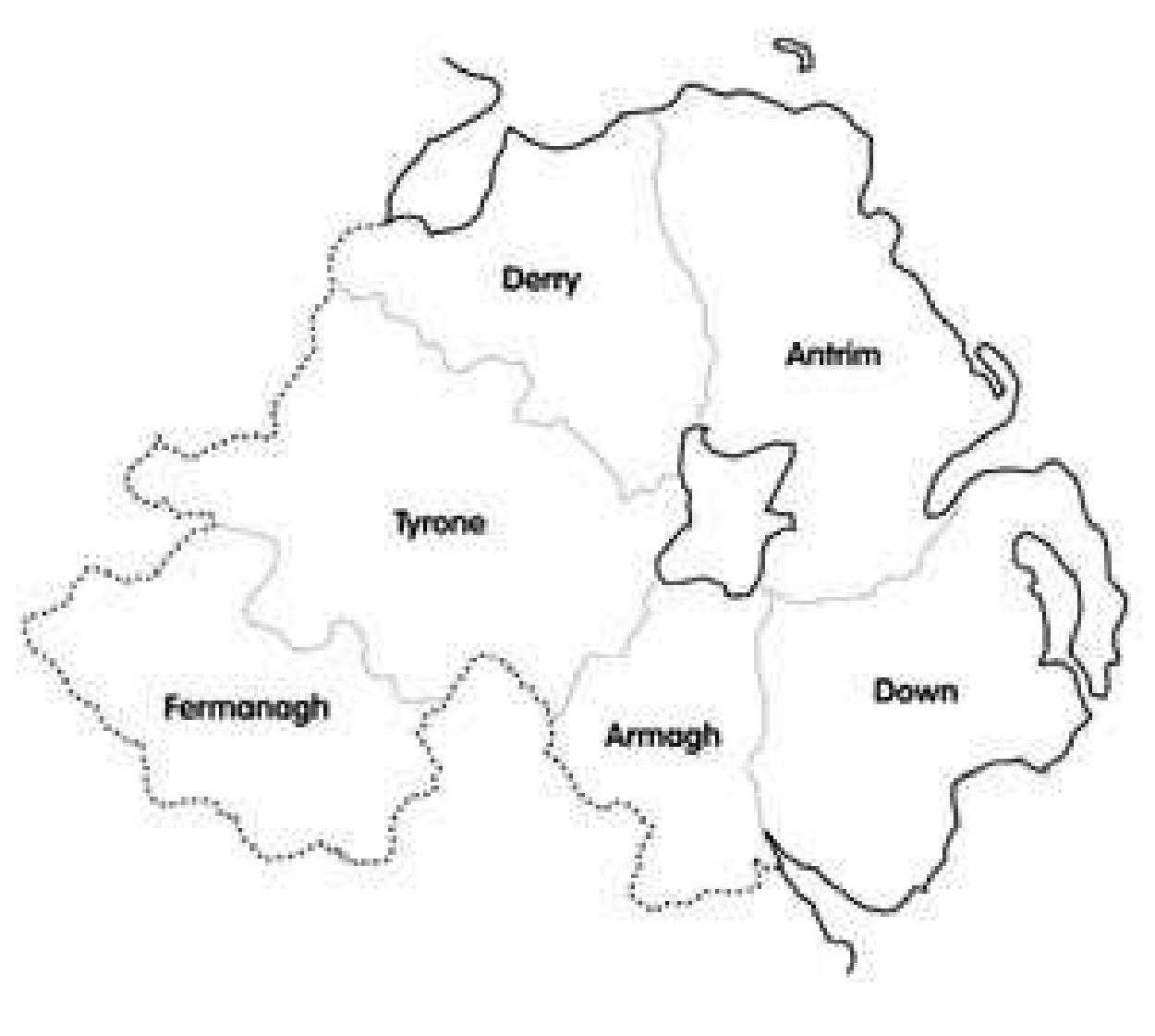 OutlinedFairy fort / earthen ringfort · 713 yd
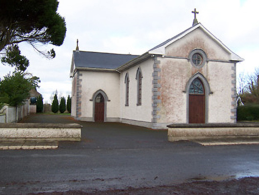 Saint Patrick's Catholic Churchchurch/chapel · 1247 yd
 Site of CastleCastle, unclassified · 1.6 mi
 Sessile OakSessile Oak · 2.0 mi
 Hachured, 420 ODCastle, motte · 2.3 mi
 Ancient Ring FortWood · 2.9 mi
 Abbeyshrule AbbeyRuins · 3.3 mi
 Craft WorkshopHeritage attraction · 4.3 mi
 Guest ServicesVisitor information · 4.3 mi
 Goldsmith Birthplace, PallasVisitor information · 4.5 mi