What is recorded here
A thin ditch and a four-metre eastern gap mark a thirty-metre circle on a south-facing slope in Agher. The soil may have held a small dwelling, a boundary for ritual or a child's imaginary castle, but no stone or name has preserved that purpose. The Murphy children ran around it, measured it with sticks and invented lives for its lost owner before leaving the field.
Situated on a gentle S-facing slope. The cropmark of a circular enclosure (diam. c. 30m) defined by a single fosse feature and with an entrance gap (Wth c. 4m) at E is visible on aerial images (ME048-045_1) made in July 2018. It is not visible on any other aerial images.
Compiled by Michael Moore based on details provided by Noel and Conor Murphy.
Date of upload: 7 August, 2018
The monument record does not grant public access. Check the route and ask the landowner before entering private land.
- What survives
- Recorded monument
Places near here
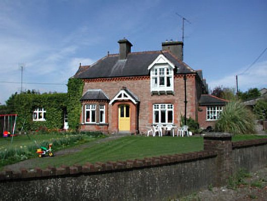 Aghergate lodge · 286 yd
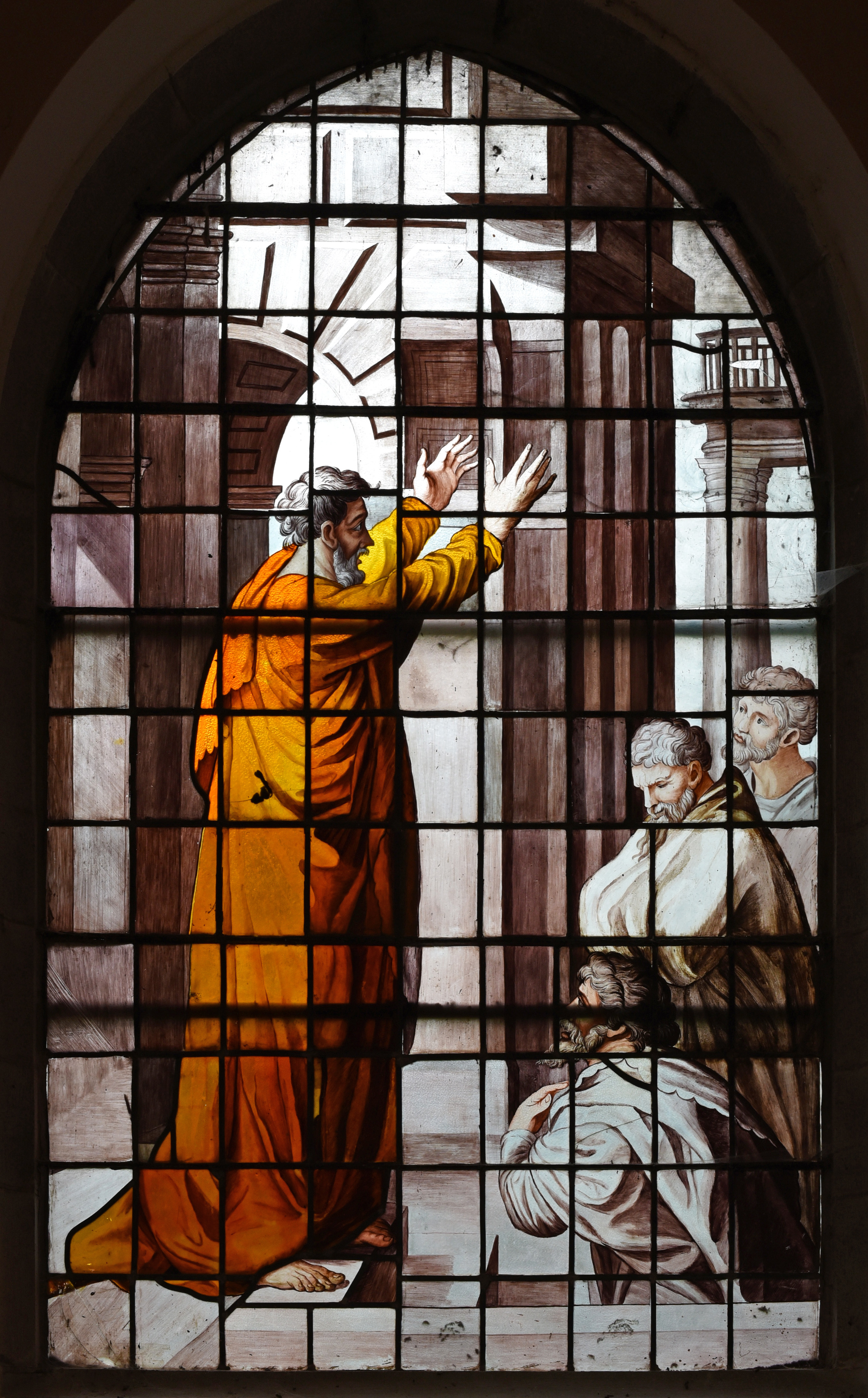 Church in Agher (deece Upper By., Agher Par.)Church · 352 yd
 Settlement desertedSettlement deserted, medieval · 598 yd
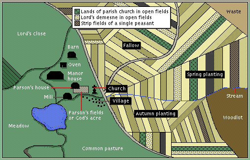 Field system in Agher (deece Upper By., Agher Par.)Field system · 638 yd
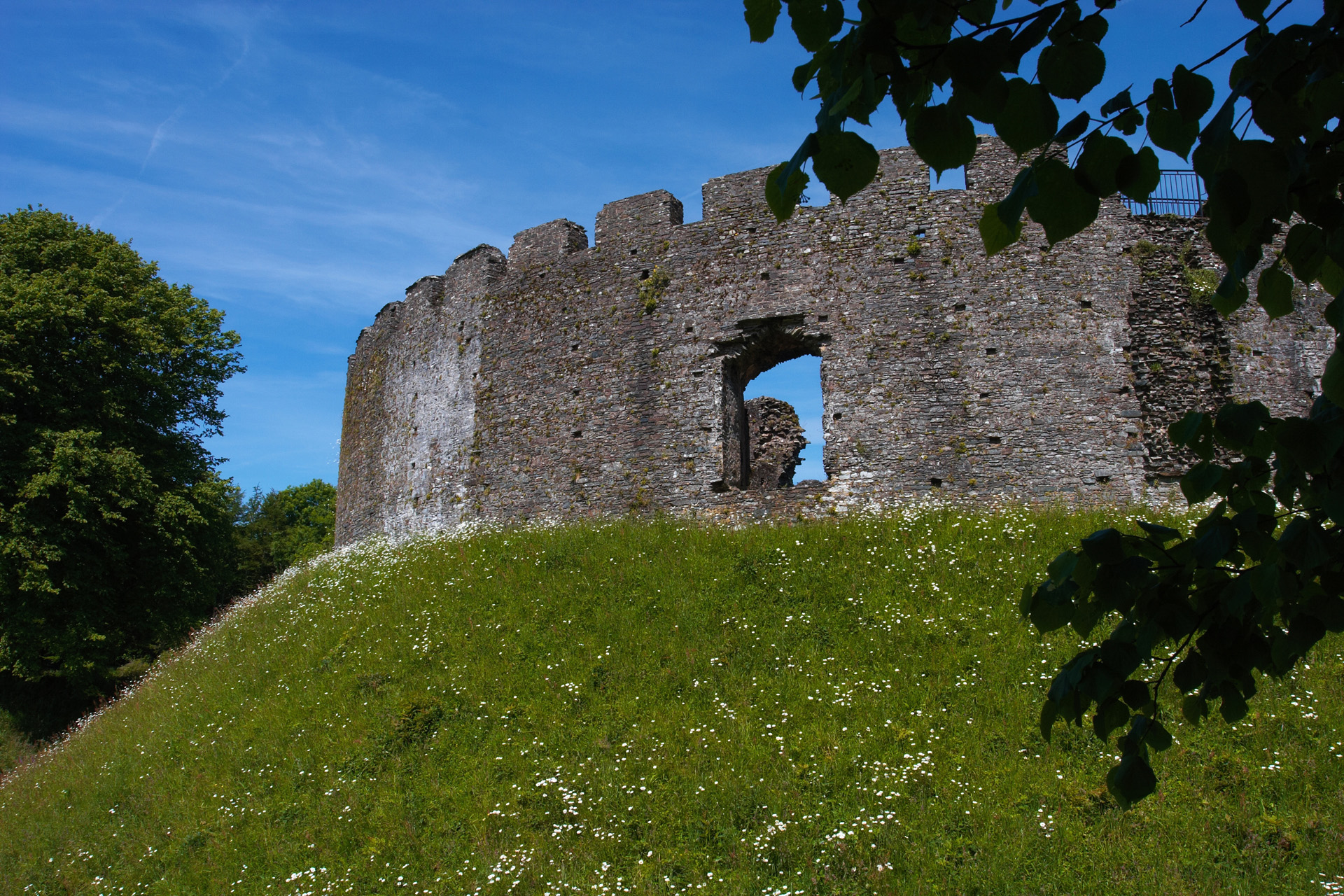 CastleCastle, motte and bailey · 703 yd
 European ashEuropean ash · 2.1 mi
 Old Bog Road made famous by Teresa Bryton 1868-1943Memorial · 2.5 mi
 Wych ElmWych Elm · 2.5 mi
 Kilgar GardensHeritage attraction · 2.7 mi
 Cloncurry MoatCastle, motte · 3.2 mi
 Cloncurry GraveyardHeritage attraction · 3.2 mi
 MullaghMountain / peak · 5.0 mi