What is recorded here
Situated on a gentle S-facing slope. The cropmark of a circular enclosure (diam. c. 30m) defined by a single fosse feature and with an entrance gap (Wth c. 4m) at E is visible on aerial images (ME048-045_1) made in July 2018. It is not visible on any other aerial images.
Compiled by Michael Moore based on details provided by Noel and Conor Murphy.
Date of upload: 7 August, 2018
The monument record does not grant public access. Check the route and ask the landowner before entering private land.
- What survives
- Recorded monument
Places near here
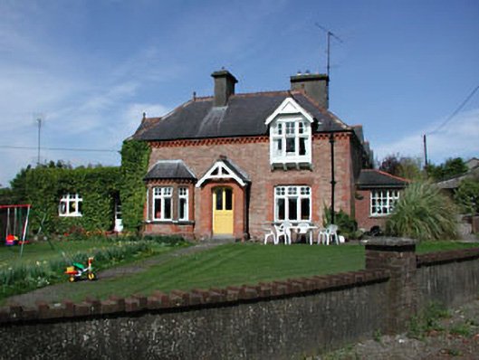 Aghergate lodge · 286 yd
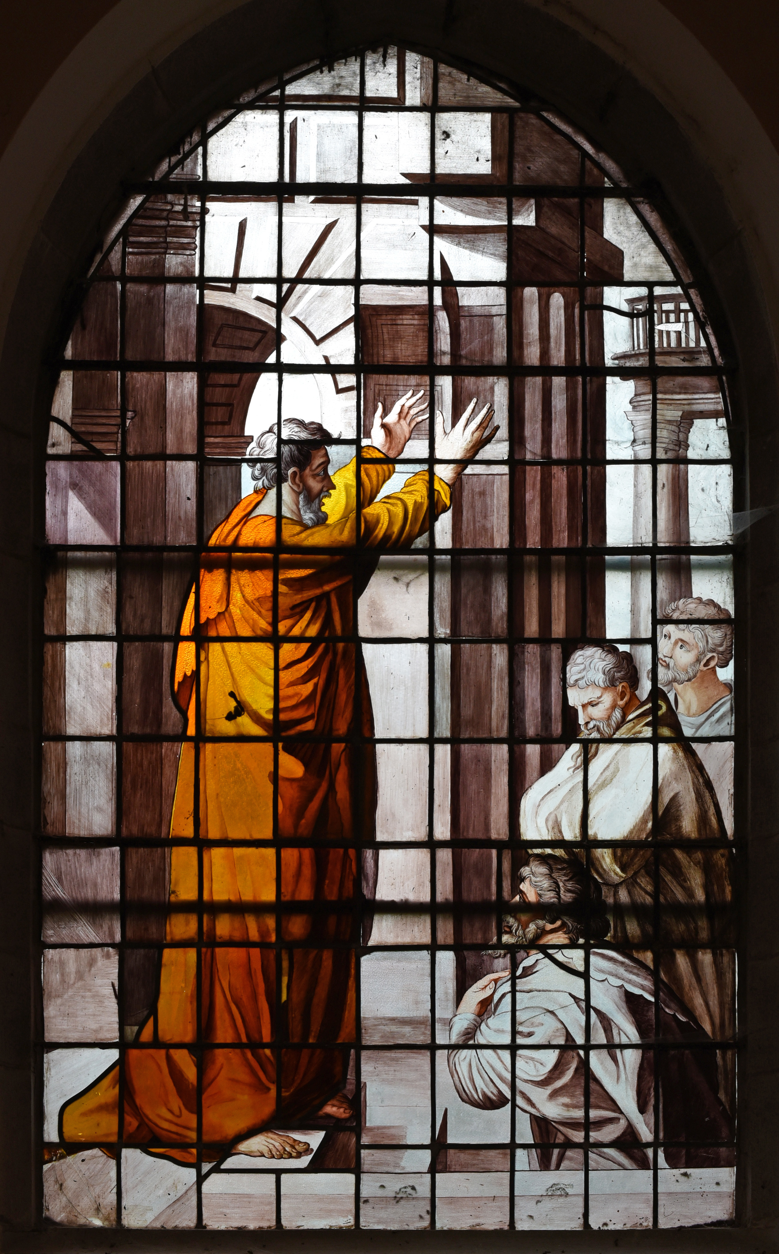 Church in Agher (deece Upper By., Agher Par.)Church · 352 yd
 Settlement desertedSettlement deserted, medieval · 598 yd
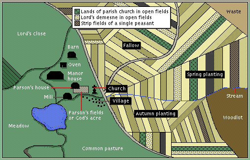 Field system in Agher (deece Upper By., Agher Par.)Field system · 638 yd
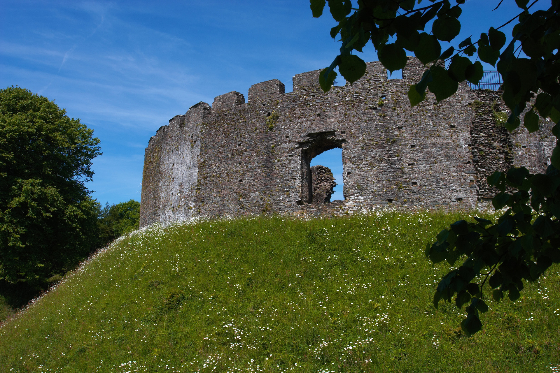 CastleCastle, motte and bailey · 703 yd
 European ashEuropean ash · 2.1 mi
 Old Bog Road made famous by Teresa Bryton 1868-1943Memorial · 2.5 mi
 Wych ElmWych Elm · 2.5 mi
 Kilgar GardensHeritage attraction · 2.7 mi
 Cloncurry MoatCastle, motte · 3.2 mi
 Cloncurry GraveyardHeritage attraction · 3.2 mi
 MullaghMountain / peak · 5.0 mi