What is recorded here
Fairy fort in Aghareagh West is a circular earthen ring on a drumlin ridge in County Monaghan, with a broken southern gap and a shallow outer ditch. People may have lived there, marked territory, or simply followed the shape the land already suggested. The fairies, according to local story, took the fort back and refused to leave it empty.
Located on a N-S drumlin ridge. This is a circular grass-covered area (diam. 42.5m N-S; 38.5m E-W) defined by an earthen bank (Wth c. 3m; int. H 0.6m; ext. H c. 2-2.5m) NNW-NE that is largely reduced to a scarp (at E: H 1.8m) and hedge. The remains of an outer fosse (Wth of base c. 1.5m) SW-N-SE has been deepened (ext. D c. 0.7m) NNW-NNE. The original entrance is probably the large gap (Wth at base 2.3m) at S.
The above description is derived from the published 'Archaeological Inventory of County Monaghan' (Dublin: Stationery Office, 1986). In certain instances the entries have been revised and updated in the light of recent research.
Revised by: Michael Moore
Date of revision: 21 June 2018
The monument record does not grant public access. Check the route and ask the landowner before entering private land.
- What survives
- Recorded monument
Places near here
 IndicatedFairy fort / earthen ringfort · 1039 yd
 LattacrossanMountain / peak · 1137 yd
 Worm Ditch or Black Pigs RaceArchaeological place · 1421 yd
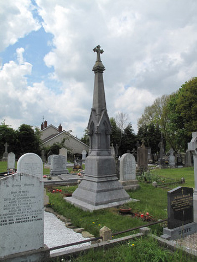 Scotshouse GraveyardGrave monument · 1497 yd
 Catholic Church of the Immaculate Conceptionchurch/chapel · 1550 yd
 Cush WoodWood · 1.1 mi
 The Beech WoodWood · 1.2 mi
 CallowhillMountain / peak · 1.5 mi
 Drumcarn Ho.Castle, unclassified · 3.3 mi
 Ulster Canal Stores Visitor CentreHeritage attraction · 4.3 mi
 Bawn in DrumsheilBawn · 4.4 mi
 Abbey RuinsHeritage attraction · 4.5 mi