What is recorded here
Fairy fort in Aghameelta is a collapsed earthen ring on an east-facing wooded slope, its D-shaped bank reduced to scars and shadows. It faces daylight, overlookes the valley, and stands near another rath, as if two forts shared one ridge. The name suggests people once refused to explain it, handing it to fairy instead of admitting they forgot. Forgetting is not the same as magic, but on a hidden slope it becomes indistinguishable.
Located on an E-facing slope in mixed woodland. This is an overgrown subcircular or D-shaped area (int. dims 25.8m NE-SW; c. 20m NW-SE) defined by a collapsed earth and stone bank (Wth 2.5m; int. H 0.3-0.5m; ext. H 1.1-1.6m) which is intermittently reduced to a scarp. There is no visible fosse and an entrance (Wth 2.5m) at SW is probably not original. Rath (LE015-026----) is c. 110m to the SSW.
The above description is derived from 'The Archaeological Inventory of County Leitrim' compiled by Michael J. Moore (Dublin: Stationery Office, 2003). In certain instances the entries have been revised and updated in the light of recent research.
Date of upload: 23 September 2008
The monument record does not grant public access. Check the route and ask the landowner before entering private land.
- What survives
- Recorded monument
Places near here
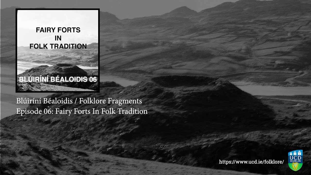 Fairy fort / earthen ringfort in SocksFairy fort / earthen ringfort · 810 yd
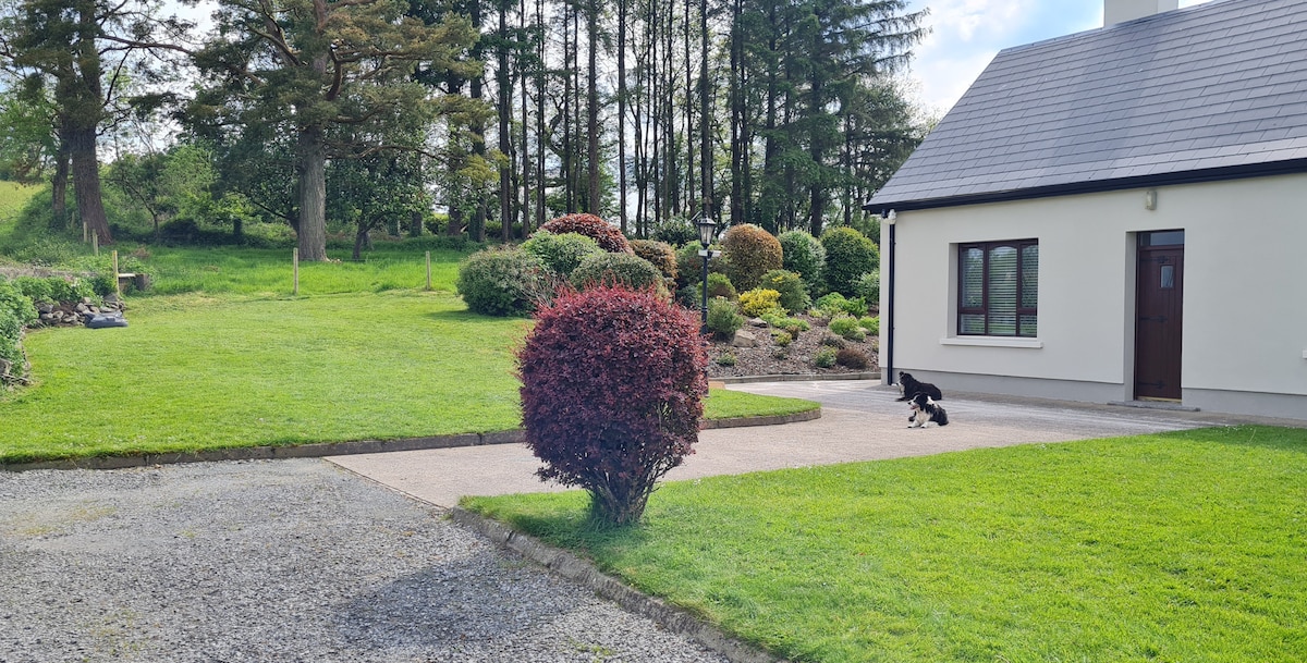 Not ineicatedFairy fort / earthen ringfort · 1295 yd
 Green IslandIslet · 1588 yd
 Kilcoosey National Schoolschool · 1599 yd
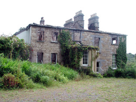 Drumlease Glebe Houserectory/glebe/vicarage/curate's house · 1.3 mi
 Old HallCastle, hall-house · 2.6 mi
 BenboMountain / peak · 3.0 mi
 Doonbran Isd.Bawn · 3.7 mi
 Giants RockNamed rock · 3.9 mi
 Parke's CastleHeritage attraction · 3.9 mi
 Cullentra ForestForest · 4.0 mi
 The Giants GraveArchaeological place · 4.1 mi