What is recorded here
No visible fort remains at Aghadreenan, though old maps marked a rath at the SE end of a drumlin ridge. The earth may have been taken for fields or roads, leaving only a hidden dip and a changed line in the land. What is missing is not the same as never having existed.
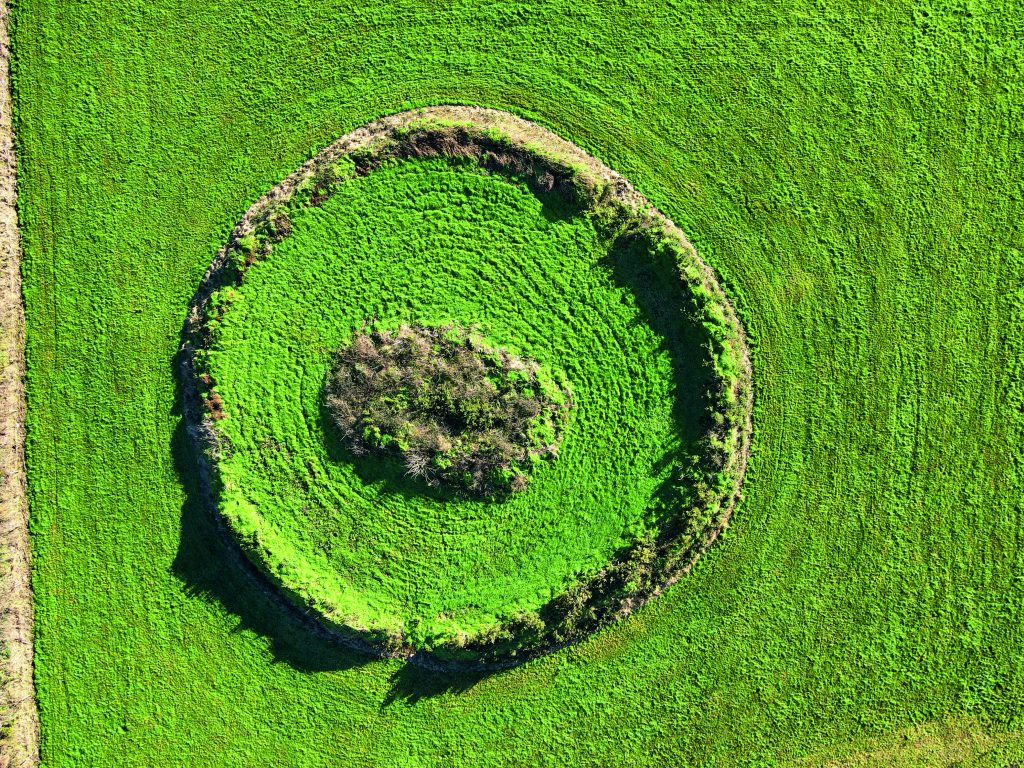
Located at the SE end of a NW-SE drumlin ridge. This rath is depicted on McCrea’s map of County Monaghan (1793) and on the 1834 and 1907 editions of the OS 6-inch map. It is a circular grass-covered area (diam. 28.4m NNE-SSW; 26m NW-SE) that slopes down from the centre to the SE (H 1.6m). It is defined by an earthen bank (at SE: Wth of base 7m; int. H 0.3m; ext. H 2.3m) that is largely reduced to an outer scarp (at NW: Wth 4.8m; H 2m), and an outer fosse (at SE: Wth 2m; D 0.2m) often reduced to a berm (at NW: Wth 2.2m) and replaced by a field bank SSW-W. The entrance (Wth of base 2.6m) and causeway (Wth of top 2.3m; H 0.7m) are at SE. The perimeter has been quarried NNW-NE. The rath has become largely overgrown with furze since 1968 (OSAP, 2005).
The above description is derived from the published 'Archaeological Inventory of County Monaghan' (Dublin: Stationery Office, 1986). In certain instances the entries have been revised and updated in the light of recent research.
Compiled by: Michael Moore
Date of revision: 27 July 2018
A fairy fort or earthen ringfort in Aghadreenan, likely dating to the early medieval period, is situated at the SE end of a drumlin ridge and has been recorded on maps since 1793. Local tradition associates such sites with fairy activity, and they were often avoided due to beliefs in their supernatural inhabitants.
The monument record does not grant public access. Check the route and ask the landowner before entering private land.
- What survives
- Recorded monument
Places near here
 Thornford Housestore/warehouse · 490 yd
 Mullaghanee fortFairy fort / earthen ringfort · 1300 yd
 IndicatedFairy fort / earthen ringfort · 1623 yd
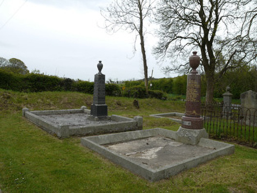 Broomfield Presbyterian ChurchGrave monument · 1705 yd
 Fincarn HillMountain / peak · 1.3 mi
 Whites IslandIslet · 1.7 mi
 KnockreaghMountain / peak · 1.7 mi
 Otter Island (South)Islet · 2.6 mi
 Lough MucknoLake and park landscape · 2.9 mi
 Bawn in OnomyBawn · 3.0 mi
 Blaney CastleCastle · 3.0 mi
 Big Tom Memorial StatueMemorial · 3.2 mi
Other information
Photo: Credit not shown in the picture search · Rights wording not checked; contact us if this picture should be removed