What is recorded here
A solid earthen platform still stands twenty metres wide on a narrow Donegal ridge, lifting a small world above the pasture. People shaped that land long before written memory, building a round room with two gaps where intention and chance both enter. The fairies may have taken the fort from human hands, but the ridge keeps the form intact while both sides forget the truth.
Internal diam. c. 20m ENE-WSW, c. 18m NNW-SSE. A subcircular earthen platform from 1.5m to 2.5m above the surrounding land. A low bank up to 1.5m in height circles the perimeter. There are two gaps in the bank, a 2m gap to the E and a 2m modern gap to the S. There is some modern disturbance in the interior. The site is located in good pasture land on a N-S ridge with wide views. There are steep falls to the E and W.
The above description was derived from the 'Archaeological Survey of County Donegal. A description of the field antiquities of the County from the Mesolithic Period to the 17th century.' Compiled by: Brian Lacey with Eamon Cody, Claire Cotter, Judy Cuppage, Noel Dunne, Vincent Hurley, Celie O'Rahilly, Paul Walsh and Seán Ó Nualláin (Lifford: Donegal County Council, 1983). In certain instances the entries have been revised and updated.
Date of upload: 22 September 2008
The monument record does not grant public access. Check the route and ask the landowner before entering private land.
- What survives
- Recorded monument
Places near here
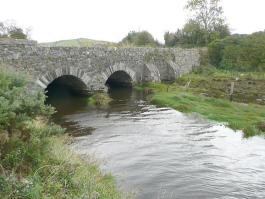 New Bridgebridge · 1049 yd
 Ardroe Cottagehouse · 1113 yd
 Drumfad Lower Standing StoneStanding stone · 1.2 mi
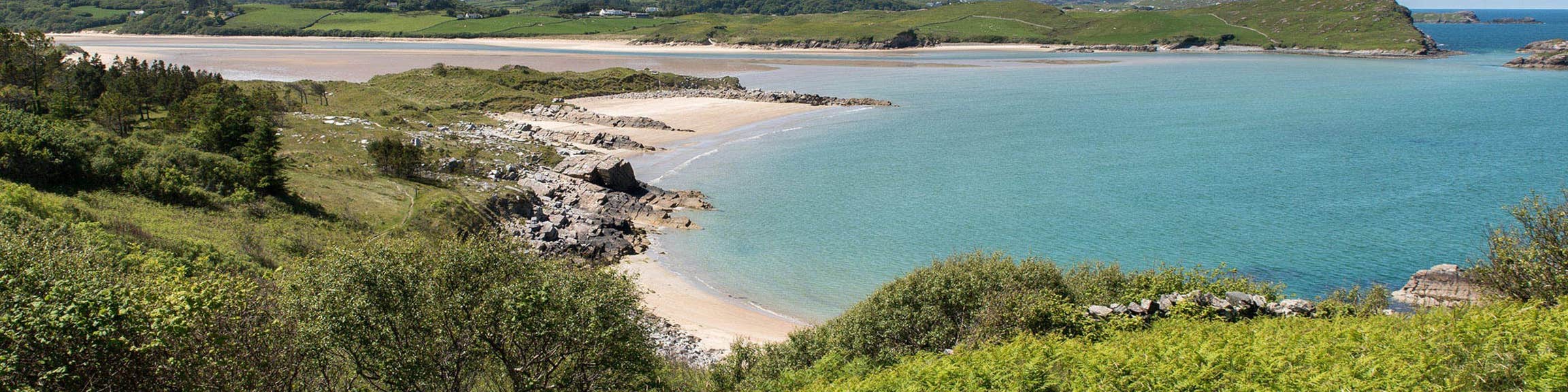 Croaghan Fairy FortFairy fort / earthen ringfort · 1.6 mi
 Moross CastleCastle, tower house · 2.0 mi
 PortsalonOfficial bathing water · 2.3 mi
 Ballymastocker StrandViewpoint · 2.8 mi
 Wild Atlantic Way:Ballymastocker StrandVisitor information · 2.8 mi
 Wych ElmWych Elm · 3.1 mi
 Old CastleCastle, unclassified · 3.1 mi
 HazelHazel · 3.2 mi
 Cranberry IslandIslet · 3.9 mi