What is recorded here
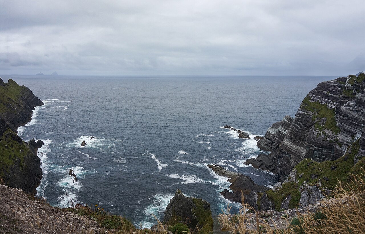
Faill na n Éigh is recorded as a cliff in County Kerry. Its open map record supplies this location and any linked names or public references.
Faill na n Éigh is a sea cliff located in County Kerry, composed primarily of Carboniferous limestone, formed approximately 340 to 320 million years ago through the accumulation of marine sediments. The cliff is notable for its exposure of layered sedimentary rock, which provides insight into ancient marine environments and contributes to the region's geological diversity.
Places near here
 Crú an Chapaill/Crúb an ChapaillBay · 77 yd
 Promontory fortPromontory fort, coastal · 423 yd
 Tráigh na SplinceBeach / strand · 792 yd
 Hut site in An Gleann IarthachHut site · 893 yd
 Sean LochaCliff · 943 yd
 BallynablounMountain / peak · 1438 yd
 Bluecave RockIslet · 1580 yd
 CruachMountain / peak · 1712 yd
 Oileán na gCánógIslet · 1722 yd
 Teampall a' Chaisil/Temple CashelRuins · 1.1 mi
 Tobairin Holy WellSpring · 1.1 mi
 Kerry CliffsHeritage attraction · 1.4 mi