
What is recorded here
Promontory fort occupies a broad west-facing headland in County Kerry, Ireland. Grass and memory have blurred its edges, yet collapsed hut foundations still mark the place where people watched the sea. The land may have belonged to someone before it became a question.
Possible promontory fort described in 2003 as follows; ‘A large broad west-facing headland measuring 280m long and 180m wide at the widest point is cut off by an earthen bank and fosse. These are similar in appearance to many such boundaries that criss-cross the adjacent pastureland and bog, and may not be an indication of antiquity. The interior of the headland contains several foundations of collapsed and grassed-over hut sites, as well as traces of earlier cultivation and field divisions. The most prominent of these stands close to the tip of the promontory near an area of outcrop. Slight traces of levelled bank or wall can be seen from the air running across the headland at the point some 100m west of the visible bank. These features indicate the possibility of earlier occupation of the headland. Similar huts are visible close to the site, including the adjacent Puffin Island’ (Casey 2003, 27, no. E).
The monument record does not grant public access. Check the route and ask the landowner before entering private land.
- What survives
- Recorded monument
Places near here
 Crú an Chapaill/Crúb an ChapaillBay · 427 yd
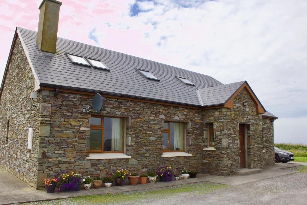 Cuas a' BhealaighCliff · 639 yd
 Enclosure in Oileán Na GcánógEnclosure · 781 yd
 Tráigh na SplinceBeach / strand · 1204 yd
 Bluecave RockIslet · 1272 yd
 Hut site in An Gleann IarthachHut site · 1290 yd
 Oileán na gCánógIslet · 1353 yd
 CruachMountain / peak · 1359 yd
 BallynablounMountain / peak · 1.0 mi
 Teampall a' Chaisil/Temple CashelRuins · 1.2 mi
 Tobairin Holy WellSpring · 1.3 mi
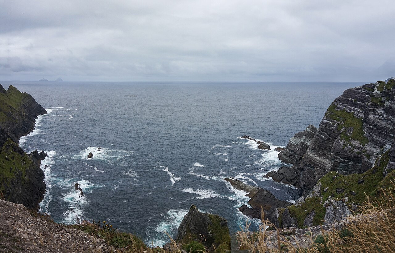 Kerry CliffsHeritage attraction · 1.7 mi
Other information
Photo: Credit not shown in the picture search · Rights wording not checked; contact us if this picture should be removed