What is recorded here
Located on an E-facing slope. Archaeological testing (04E0036) by Linda Hegarty of Headland Archaeology identified an area of burning (dims. 0.8m x 0.6m; T 5cm) over a linear feature that is probably a furrow. Nearby was a pit (0.83m x 0.54m; D 00.14m) with charcoal flecks. Excavated features (WA009-038----) are c. 160m to the NW, and excavated features (WA009-039----) are c. 145m to the WNW. (Hegarty 2007a)
Hegarty, L. (2007b) Woodstown: deposits and pits. in I. Bennett (Ed.) Excavations 2004: summary accounts of excavations in Ireland, 432, No. 1704. Wordwell. Dublin.
Compiled by: Michael Moore
Date of upload: 26 August 2010
The monument record does not grant public access. Check the route and ask the landowner before entering private land.
- What survives
- Recorded monument
Places near here
 Native Irish Tree TrailWood · 170 yd
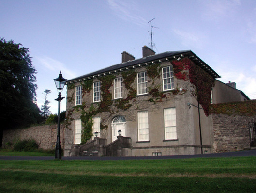 Carriganore Househouse · 381 yd
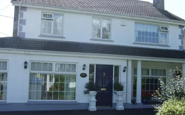 Fulacht fia in Knockhouse LowerFulacht fia · 673 yd
 Fulacht fia in Woodstown (middlethird By., Killoteran Par.)Fulacht fia · 718 yd
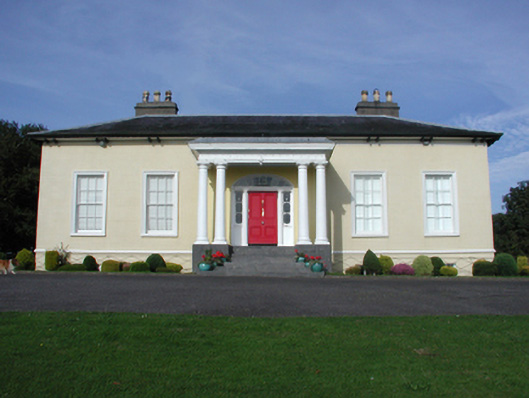 Killoteran Househouse · 725 yd
 Native Woodland Trust:Grace Dieu ReserveWood · 1.2 mi
 Corluddy Castle (in Ruins)Castle, tower house · 1.3 mi
 Mount Congreve GardensHeritage attraction · 1.6 mi
 CastleCastle, unclassified · 2.1 mi
 Waterford & Suir Valley RailwayHeritage attraction · 2.8 mi
 Sugar Loaf RockMountain / peak · 2.9 mi
 Ballyscanlon HillMountain / peak · 6.1 mi