What is recorded here
Located on level ground on the S bank of the River Boyne and at the SW end of Market Street. Archaeological monitoring (96E0175) of a pipe trench identified a N-S ditch (Wth of top 1.9m) with silt at the base, which was at the W end of Market Street (Meenan 1996, 6). It was cut into the boulder clay but from what level was not ascertained. Another section of the ditch (L 24m; Wth 5m plus; D 2.2m), sealed with redeposited boulder clay T 0.5-0.9m) that extended E, was discovered in excavating (02E1671) two properties at the SW corner of Market street (Fallon 2006). Here the ditch ran along the W edge of the development site and cut through a thin layer of occupation material with animal bones but no ceramics over a metalled surface (Fallon 2003, 13). The basal fill of the ditch consisted of organic layers leavened with slip from the sides, but the upper fills were more homogenous and less organic (ibid. 16).
Compiled by: Michael Moore
Date of upload: 8 July 2019
The monument record does not grant public access. Check the route and ask the landowner before entering private land.
- What survives
- Recorded monument
Places near here
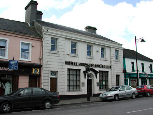 bank/financial institutionbank/financial institution · 14 yd
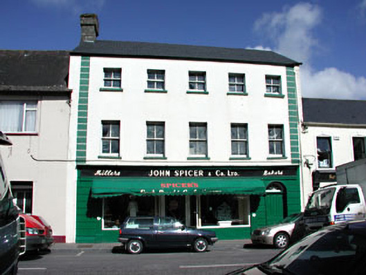 John Spicer and Companyhouse · 30 yd
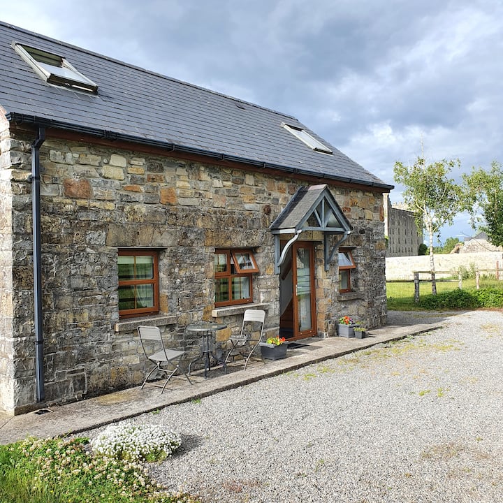 IndicatedTown defences · 235 yd
 CastleCastle, hall-house · 239 yd
 Trim CastleCastle, Anglo-Norman masonry castle · 257 yd
 Fortification in Manorland (1st Division)Fortification · 262 yd
 Saints IslandForest · 3.8 mi
 Small-leaved ElmSmall-leaved Elm · 3.9 mi
 Tara Open StudioGallery · 7.7 mi
 Kilgar GardensHeritage attraction · 9.3 mi
 Old Bog Road made famous by Teresa Bryton 1868-1943Memorial · 9.3 mi
 MullaghMountain / peak · 9.4 mi