What is recorded here
Gretta Byrne dug the future Garda Station in 1987 and 1988, exposing a rath and a curved medieval ditch that dropped charcoal and bones into brown gravelly loam. Five glazed sherds, perhaps French, dated the quiet channel to the late thirteenth or early fourteenth century. The ditch may have followed a natural slope for a brief time before soil smothered it, leaving only a hidden line beside St Columba’s House.
Archaeological excavation (E00428) by Gretta Byrne in 1987 and 1988 on the site of a new Garda Station identified a rath (ME017-044028----) and a slightly curved and round-bottomed medieval ditch (Wth 1.2-1.55m; D 0.45-0.8m) that extended NW-SE (L 15m plus) across the development area c. 5m outside the projected line of the E side of the rath. It had a single fill of homogenous brown gravelly loam with some charcoal flecks and bones. Five sherds of glazed pottery, two probably French imports, dating from the late thirteenth or early fourteenth century were recovered. The channel probably followed the natural slope, does not appear to have been open long, and would have run E of St Columba’s House (ME017-044011-). (Byrne 1988, 14-5, 26-7)
Compiled by: Michael Moore
Date of upload: 16 April, 2019
The monument record does not grant public access. Check the route and ask the landowner before entering private land.
- What survives
- Recorded monument
Places near here
 St. Columbs HouseChurch · 38 yd
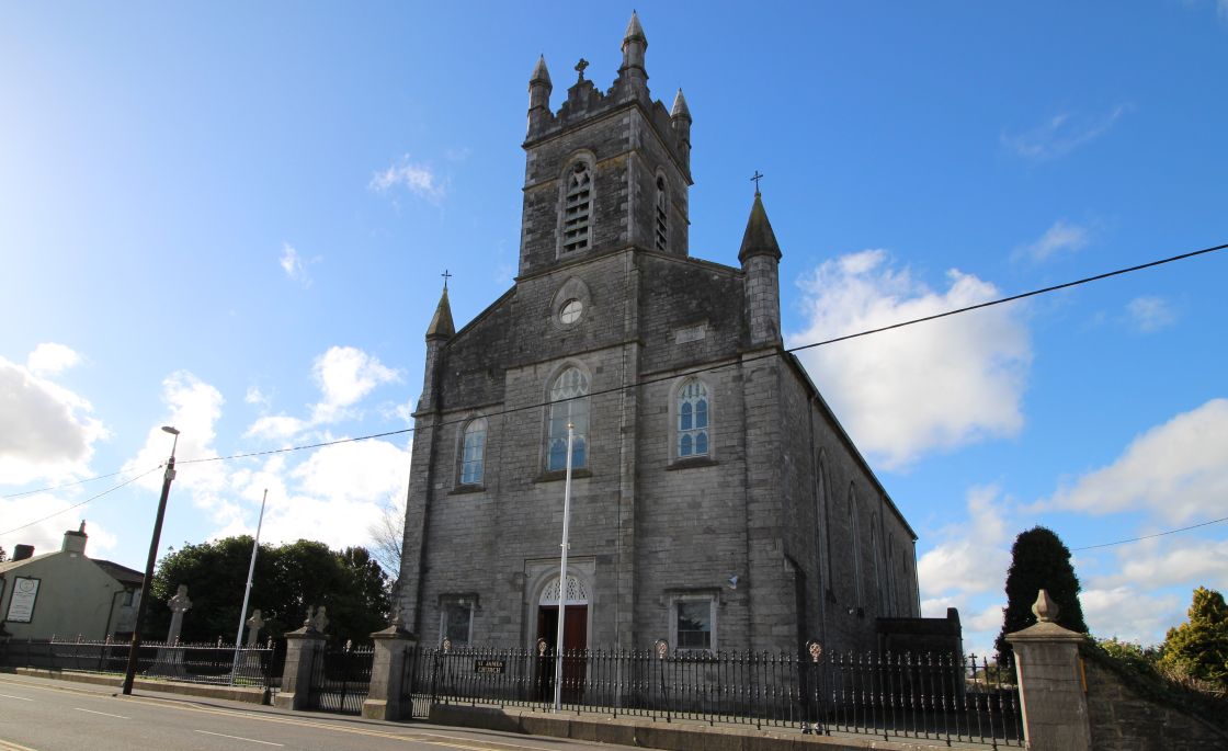 Font (present location) in Town Parks (kells Upper By.)Font (present location) · 122 yd
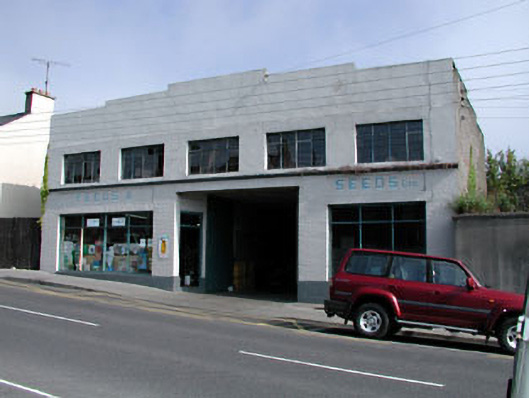 workshopworkshop · 125 yd
 Kells High Crosses and Round TowerMemorial · 152 yd
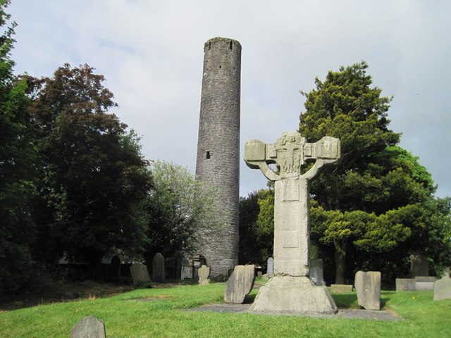 Kells Round TowerMemorial · 156 yd
 Round TowerRound tower · 161 yd
 CastleCastle, unclassified · 316 yd
 Lady's Well WoodForest · 1299 yd
 Mausoleum WoodWood · 1360 yd
 Castle ruinsCastle · 1.6 mi
 MountainpoleMountain / peak · 1.8 mi
 BalreaskMountain / peak · 2.5 mi