What is recorded here
Located on a gentle S-facing slope within Taghmon and c. 70m NNW of the tower house (WX041-008001-). Archaeological testing (02E1108) uncovered two parallel curvilinear trenches, one thought to be the foundation of a wall and both containing medieval pottery. Nearby two parallel N-S ditches (Wth 2m: 1.3m), also containing medieval pottery, were c. 15m to the N. (McLoughlin 2002, 10-13; 2004)
Compiled by: Michael Moore
Date of upload: 20 March, 2013
The monument record does not grant public access. Check the route and ask the landowner before entering private land.
- What survives
- Recorded monument
Places near here
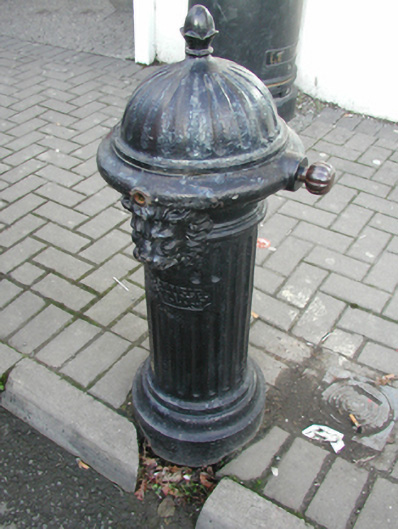 water pumpwater pump · 69 yd
 Taghmon CastleCastle · 97 yd
 CrossCross, High cross · 122 yd
 Saint Munna's Church (Taghmon)church/chapel · 136 yd
 TobermunnaHoly well · 136 yd
 Bawn in SiginshaggardBawn · 1.4 mi
 Carrickatinna RockMountain / peak · 3.5 mi
 Raven RockMountain / peak · 3.5 mi
 Coolcliffe HouseRuins · 3.9 mi
 Battle Of The Three RocksMemorial · 4.2 mi
 Battle of Three Rocksbattle · 4.6 mi
 Celebrating 125 YearsMemorial · 4.9 mi