What is recorded here
In 2000 archaeological testing by Ken Hanley of a proposed housing development at Brooklands (formerly Sallygrove) revealed an average of 1.2m of 'made ground' of unknown date or function. A proposed pre-developement site investigation was cancelled at the request of the developer. The site remains archaeologically unresolved. Carried out under licence No. 00E0567 (Bennett 2002, 323).
Compiled by: Caimin O'Brien.
Date of upload: 22 September 2008
The monument record does not grant public access. Check the route and ask the landowner before entering private land.
- What survives
- Recorded monument
Places near here
 Old BarracksHeritage attraction · 581 yd
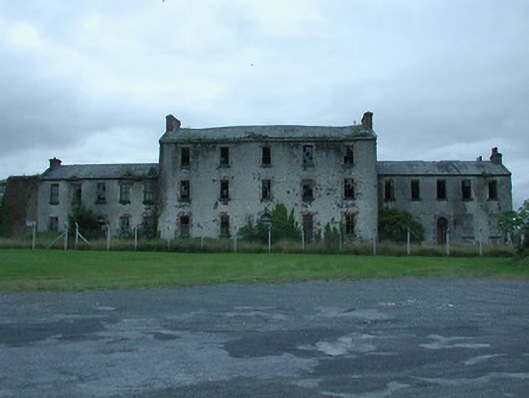 barracksbarracks · 598 yd
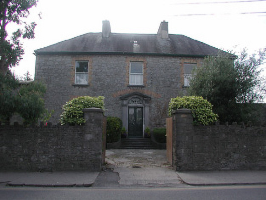 Summerhill Househouse · 629 yd
 Enclosure in Rathnaleen NorthEnclosure · 632 yd
 Nenagh Heritage CentreMuseum · 864 yd
 CastleCastle, Anglo-Norman masonry castle · 872 yd
 Nenagh CastleCastle · 872 yd
 St. Johns WellHoly well · 977 yd
 James Devaney MemorialMemorial · 2.9 mi
 Gibbet HillMountain / peak · 3.0 mi
 Knigh HillMountain / peak · 3.7 mi
 Blessed WellNature reserve · 4.8 mi