What is recorded here
In 1997, archaeological monitoring (Licence no. 97E0151: www.excavations.ie) of the mechanical excavation of pipe trench cuttings to accommodate a new 1.5m water main and the laying of gas pipes in Main Street (north and south) and adjoining streets in Naas was carried out. In the course of trenching along the western side of North Main Street, to the north of the Town Hall, a portion of a truncated pit was revealed. Part of the western side of the pit had been disturbed and removed at some earlier time in the course of laying other service pipes. The remaining element of the pit was 0.8m east-west, 0.6m north-south and 0.24m deep. It contained dark brown soil, five water-rolled stones varying between 0.1m and 0.15m in thickness, a quantity of animal bones, and sherds of the rim, strap handle and body of a 13th/14th-century wine jug of Dublin manufacture. The rim bears piecrust decoration. Stratification overlying the pit consisted of 0.08m of road surface tarmac and 0.28m of hard-core. The pit had been cut into the underlying boulder clay.
Compiled by: Gearóid Conroy
Date of upload: 10 June 2011
The monument record does not grant public access. Check the route and ask the landowner before entering private land.
- What survives
- Recorded monument
Places near here
 CastleCastle, tower house · 18 yd
 Not indciatedTown defences · 22 yd
 Naas Town Hallprison/jail · 25 yd
 Naas Presbyterian Churchchurch/chapel · 41 yd
 Site of Black CastleCastle, unclassified · 64 yd
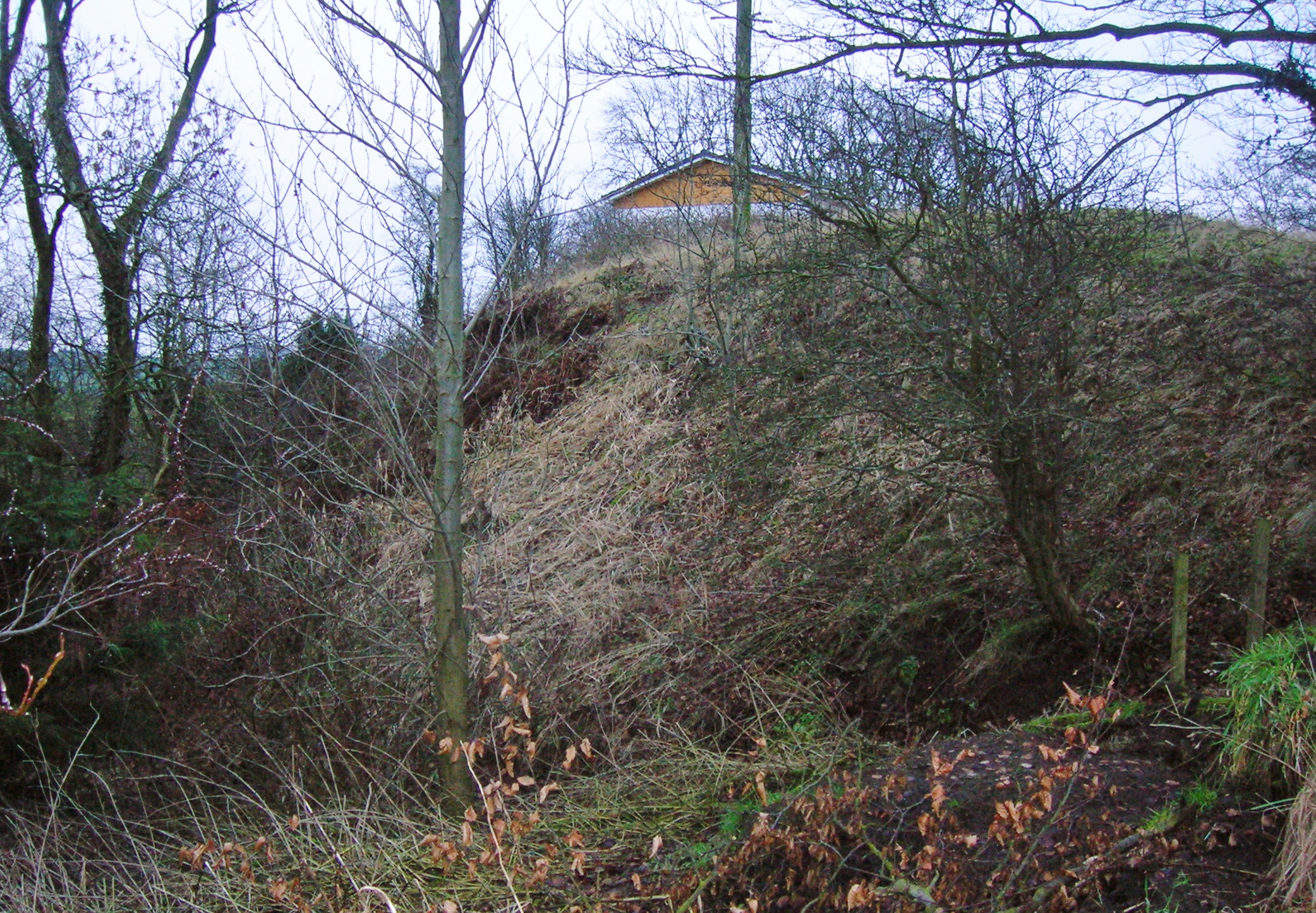 North MoteArchaeological place · 116 yd
 Poplar SquarePicnic place · 234 yd
 Monread District Park WoodsWood · 1669 yd
 Naas ParkWood · 1.0 mi
 Museum of MotorsportMuseum · 4.2 mi
 Cupidstown HillMountain / peak · 7.0 mi
 Athgoe HillMountain / peak · 7.8 mi