What is recorded here
In 1997, archaeological monitoring (Licence no. 97E0151) of the mechanical excavation of pipe trench cuttings to accommodate a new 1.5m water main and the laying of gas pipes in Main Street (north and south) and adjoining streets in Naas was carried out. A short 12m stretch at the south-eastern section of North Main Street opposite the Town Hall was found to be largely previously undisturbed ground and was excavated manually. At a depth of 0.36m below street surface there was a stratum (T 0.1-0.2m) of black clay and stones, as well as animal bones, cockle and oyster shells and some red brick fragments. Beneath this layer there was a rough paving of cobble-sized stones above the boulder clay. A portion of the former stone-cobbled street drain close to the footpath to the east was also noted.
Compiled by: Gearóid Conroy
Date of upload: 10 June 2011
The monument record does not grant public access. Check the route and ask the landowner before entering private land.
- What survives
- Recorded monument
Places near here
 Naas Presbyterian Churchchurch/chapel · 8 yd
 Not indciatedTown defences · 13 yd
 CastleCastle, tower house · 17 yd
 Naas Town Hallprison/jail · 35 yd
 Site of Black CastleCastle, unclassified · 97 yd
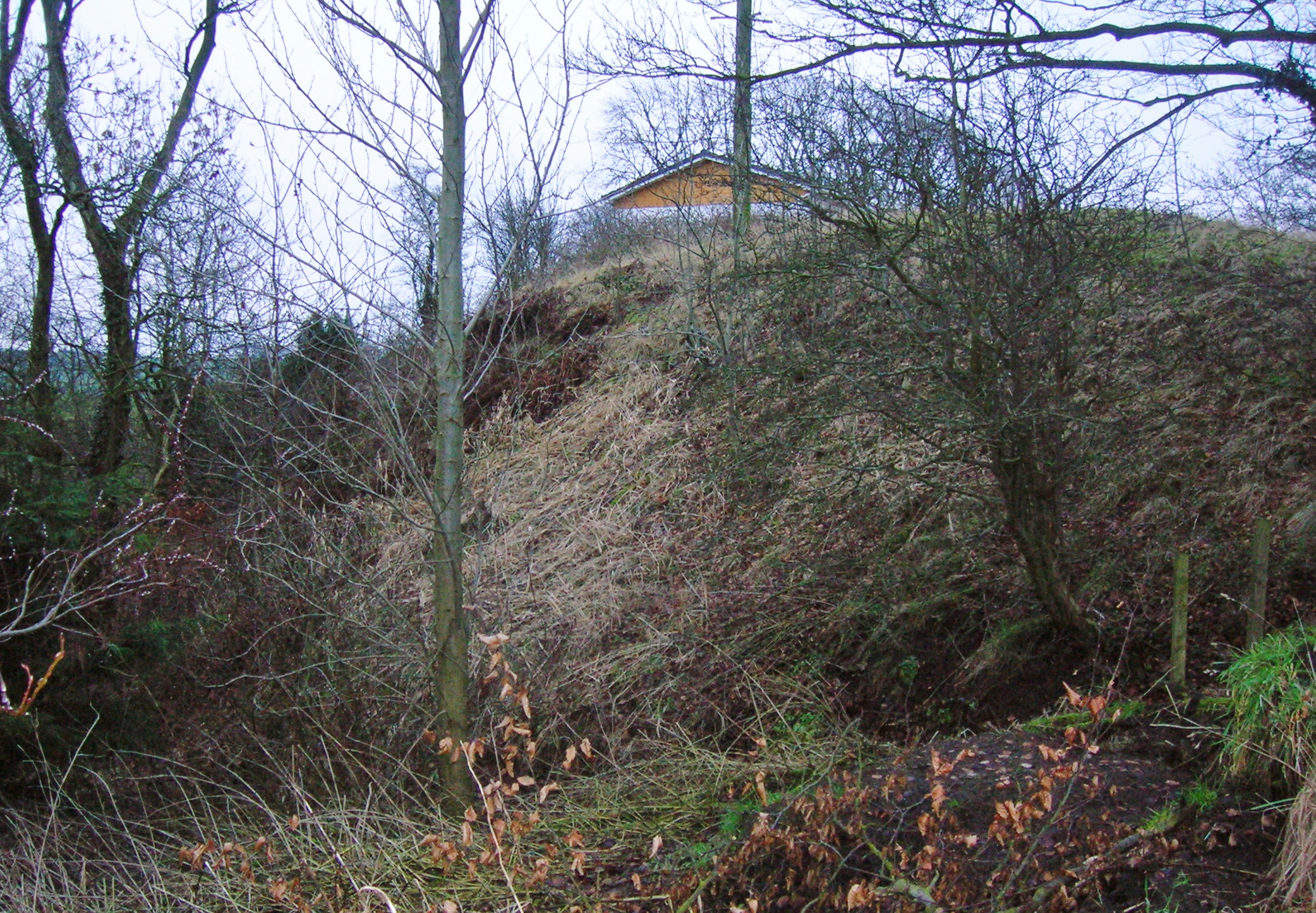 North MoteArchaeological place · 142 yd
 Poplar SquarePicnic place · 259 yd
 Monread District Park WoodsWood · 1701 yd
 Naas ParkWood · 1.1 mi
 Museum of MotorsportMuseum · 4.3 mi
 Cupidstown HillMountain / peak · 7.0 mi
 Athgoe HillMountain / peak · 7.9 mi