What is recorded here
Excavation is an active verb, not a dead noun. It is the moment when coverage is tested and an unknown shape is revealed. The digger does not invent the place. The digger removes what is not telling the truth. Everything clever in human life begins there.
'Three potential areas of archaeological interest were identified during monitoring of initial development work at a new estate in Mounthawk, Tralee...........A pit and stake-hole underlay the topsoil and cut the natural. No datable material or artefacts were recovered from either cut feature. A linear feature, 8m x 0.7m and 0.1m deep, aligned north-south, was located 25m from the features above but is interpreted by the excavator as a cultivation feature. To the north of the above a small pit and a burnt deposit were noted. No dateable evidence was recovered from either feature.'
Description from ‘The Prehistoric Settlement of the Lee Valley, Tralee, Co. Kerry; A Landscape Perspective’ by Michael Connolly. PhD Thesis UCC 2008
Date of upload: 10 July 2012
The monument record does not grant public access. Check the route and ask the landowner before entering private land.
- What survives
- Recorded monument
Places near here
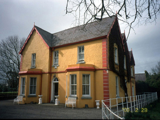 Mount Hawk Househouse · 255 yd
 Enclosure in MounthawkEnclosure · 457 yd
 Man-made underground passage in ClogherbrienMan-made underground passage · 621 yd
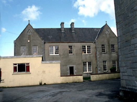 Saint John's Convent of Mercylaundry · 1164 yd
 Castle MacallistrumCastle, unclassified · 1493 yd
 John Hurley GalleryGallery · 1.2 mi
 CastleCastle, unclassified · 1.2 mi
 Crimea Cannon and War MemorialMonument · 1.2 mi
 The DicemanMemorial · 1.2 mi
 Kerry County MuseumMuseum · 1.3 mi
 Tralee Bay Wetlands Eco and Activity ParkNature reserve · 1.4 mi
 Tobar na MoltSpring · 2.9 mi