What is recorded here
Situated on the NE bank of a slight SSE-NNW stream. First identified in centre-line testing (02E0249) by Tara O'Neill of Archaeological Consultancy Services in advance of the Waterford city by-pass (O'Neill 2004a), and fully excavated (03E0415) by Linda Clarke of ACS in area 3 of Knockhouse Lower 1. An oval pit (dims. 1.8m x 1.4m; D 0.35m) was filled with a grey clay with some charcoal while a second pit (diam. 0.6m D. 0.2m) c. 4m to the WNW was sterile. (Clarke 2006a)
Clarke, L. (2006a) Knockhouse Lower 1. Fulacht spread. in I. Bennett (Ed.) Excavations 2003: summary accounts of excavations in Ireland, 503, No. 1902. Wordwell. Bray. O'Neill, T. (2004a) Knockhouse Upper/Knockhouse Lower/Woodstown. (N25 Waterford bypass, Contract 1, site b) in I. Bennett (Ed.) Excavations 2002: summary accounts of excavations in Ireland, 492-3. Wordw
Compiled by: Michael Moore
Date of upload: 26 August 2010
The monument record does not grant public access. Check the route and ask the landowner before entering private land.
- What survives
- Recorded monument
Places near here
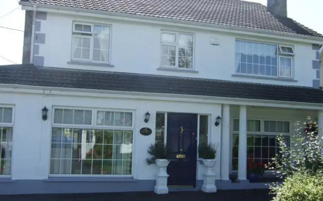 Fulacht fia in Knockhouse LowerFulacht fia · 212 yd
 Native Irish Tree TrailWood · 453 yd
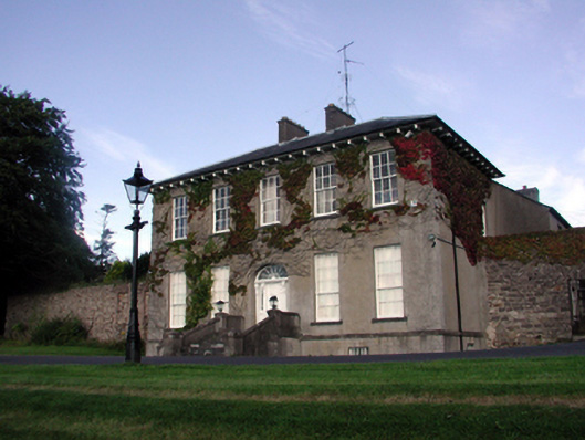 Carriganore Househouse · 904 yd
 Enclosure in Lismore (middlethird By.)Enclosure · 952 yd
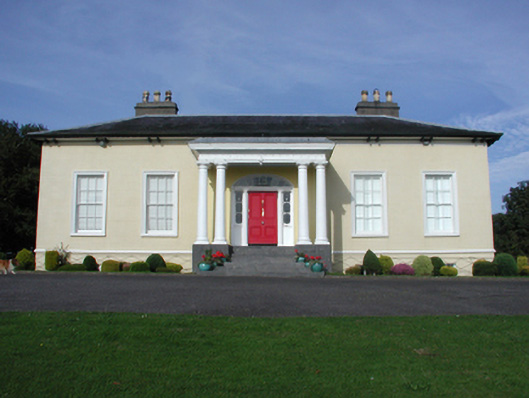 Killoteran Househouse · 972 yd
 Native Woodland Trust:Grace Dieu ReserveWood · 1.2 mi
 Corluddy Castle (in Ruins)Castle, tower house · 1.6 mi
 Mount Congreve GardensHeritage attraction · 1.8 mi
 CastleCastle, unclassified · 2.4 mi
 Sugar Loaf RockMountain / peak · 2.8 mi
 Waterford & Suir Valley RailwayHeritage attraction · 3.1 mi
 Ballyscanlon HillMountain / peak · 6.1 mi