What is recorded here
Kilmallock’s medieval wall still stands beside a proposed playground where five trenches cut through boulder clay to reveal linear ditches and shallow pits. The absence of datable objects leaves their age uncertain, although nearby excavations suggest medieval origins. Children may soon run above holes that people dug centuries before them, turning forgotten marks into the foundation of joy.
Testing of a proposed development playground site by Annette Quinn under licence No.05E1161 at Castlecourt, Sarsfield Street, Kilmallock, was carried out as part of an impact assessment. The proposed development consisted of the construction of a playground on a greenfield site adjacent to and within the standing medieval town wall. Five trenches were excavated on the site within the proposed development area. These revealed the presence of a number of potential archaeological features, encountered at depths ranging between 1.1–1.95m below present ground level, and all appeared to cut the natural boulder clay. They generally consisted of linear trenches, including one large ditch-like feature, and shallow pits. A lack of datable finds from the majority of the features uncovered makes it difficult to assign them to any particular period, although it is possible that at least some of them may be medieval in date. Previous excavation of an adjacent site at the rear of Shears Street by Meriel McClatchie in 2000 revealed similar features dating to the medieval and post-medieval period (Excavations 2000, No. 587, 00E0305).
The monument record does not grant public access. Check the route and ask the landowner before entering private land.
- What survives
- Recorded monument
Places near here
 Town WallTown defences · 71 yd
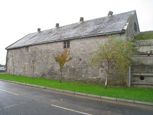 creamerycreamery · 92 yd
 Kings CastleCastle, tower house · 126 yd
 King John's CastleCastle · 126 yd
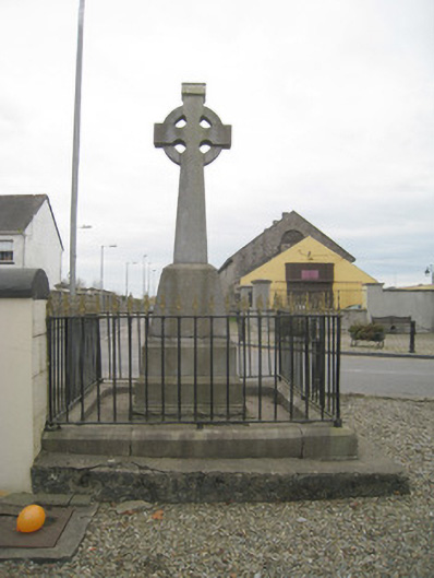 1798 Monumentmonument · 141 yd
 Megalithic structure in Ash HillMegalithic structure · 172 yd
 Kilmallock AbbeyHeritage attraction · 310 yd
 Site of Castle CooteBawn · 587 yd
 St Bridget's WellSpring · 1.8 mi
 Lady's WellSpring · 3.1 mi
 Ballyhoura tourist informationVisitor information · 5.4 mi
 Holy Cross CemeteryGraveyard · 5.4 mi