What is recorded here
Situated on a gentle SE-facing slope. Topsoil stripping in 2000 (Licence no. 00E0201) in advance of road development on the N18/N19 Ballycasey-Dromoland Road Improvement Scheme revealed a subcircular feature (5m E-W x 3m) cut into light grey boulder clay (Dempsey 2002, 36). On excavation later in 2000 (Licence no. 00E0488) this proved to be a post-medieval pit (Murphy 2002, 30-31).
Compiled by: Mary Tunney
Date of upload: 26 July 2016
The monument record does not grant public access. Check the route and ask the landowner before entering private land.
- What survives
- Recorded monument
Places near here
 Indicated (1951-52)Fairy fort / earthen ringfort · 497 yd
 Hachured (1951-52)Fairy fort / earthen ringfort · 621 yd
 CastleCastle, unclassified · 1052 yd
 Urlanbeg Castle (in Ruins)Castle, tower house · 1.1 mi
 Carrigoran HouseRuins · 1.3 mi
 Drumline Church (in Ruins) (1951-52)Church · 1.3 mi
 Pan Am Flight 1-10aviation accident · 1.5 mi
 Atlantic Air VentureMuseum · 1.8 mi
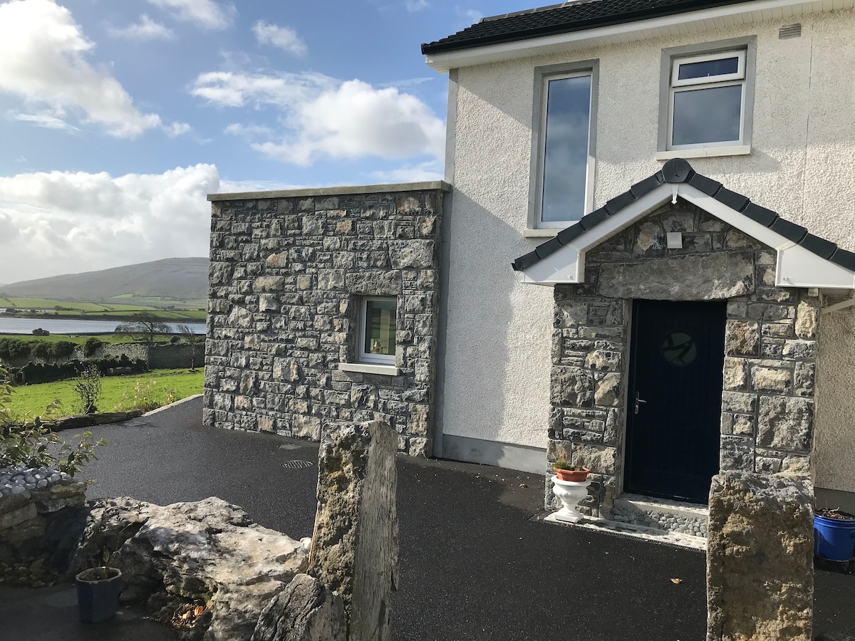 Illaundconeen PointHeadland · 2.6 mi
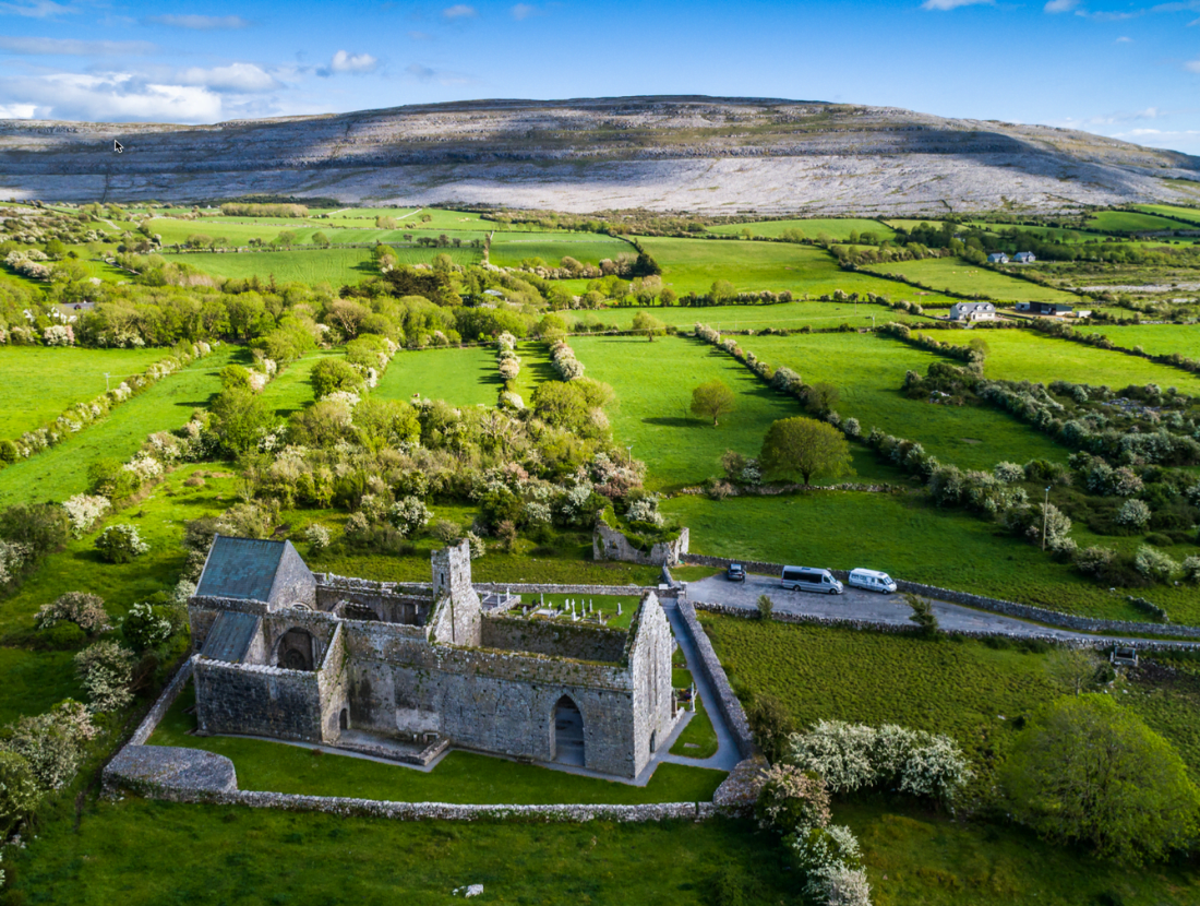 Illaunagowan PointHeadland · 2.8 mi
 Mooghaun WoodsWood · 3.1 mi
 Mooghaun HillfortArchaeological place · 3.2 mi