What is recorded here
John Channing excavated a burgage plot in Kilkenny in 1992, uncovering medieval pottery pits beneath what would become a multi-storey car park. The site stretched from the Hightown wall toward Parliament Street, later absorbed by Sullivan's Brewery between 1810 and 1914. Masonry from those brewery buildings still stands embedded in the modern development, preserving layers of trade and domestic life that once filled the same ground.
An archaeological excavation (92E0067) was carried out by John Channing in 1992, in advance of the construction of a multi-storey car park. A series of pits containing medieval pottery were excavated within a burgage plot that probably originally stretched from the line of the western circuit of the town wall of the Hightown of Kilkenny to 1-3 Parliament Street, where a late 16th/early 17th-century house (KK019-026083-) is partially extant on the street frontage (Channing 1992, unpublished; 1993). John Rocque's 1758 map of Kilkenny shows a series of walled plots and a tennis court running to the rear of this house and much of the area was subsequently occupied by the Sullivan's Brewery complex, which was in operation between 1810 and 1914, superseding an early 18th-century brewery (Bradley 2000, 18). Masonry belonging to some of the brewery buildings as well as archaeological strata were preserved in situ and incorporated into the development.
Compiled by: Cóilín Ó Drisceoil
Date of upload: 28 March 2022
The monument record does not grant public access. Check the route and ask the landowner before entering private land.
- What survives
- Recorded monument
Places near here
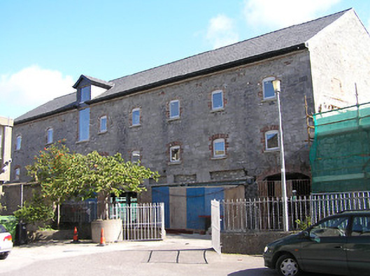 The Maltingsmalt house · 48 yd
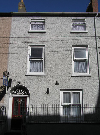 Saint Mary'shouse · 54 yd
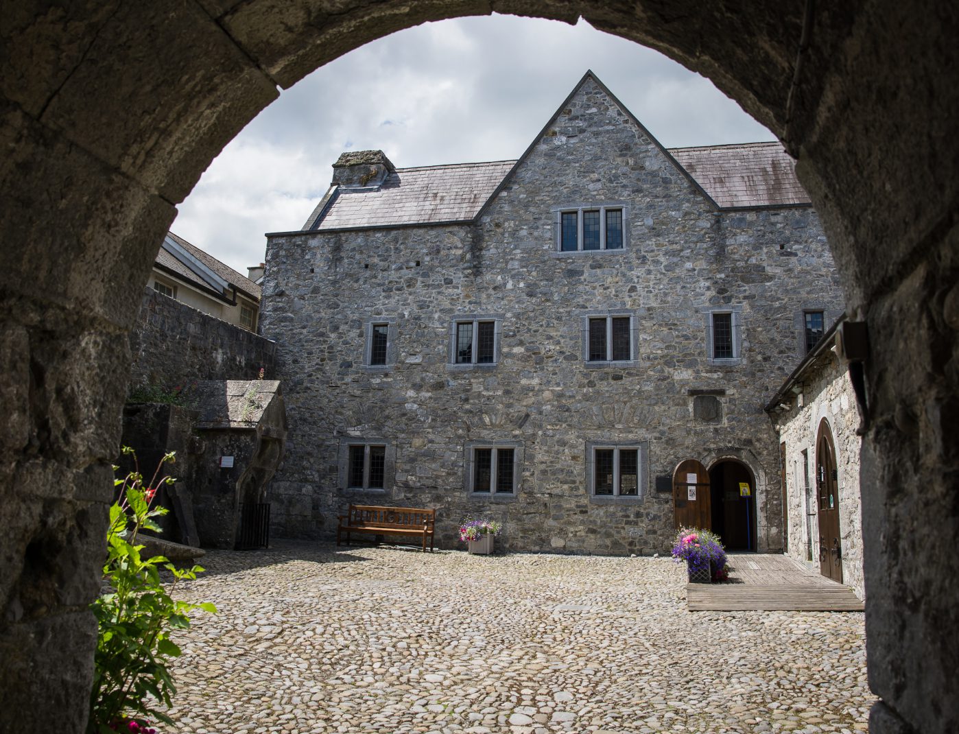 Rothe House & GardenMuseum · 94 yd
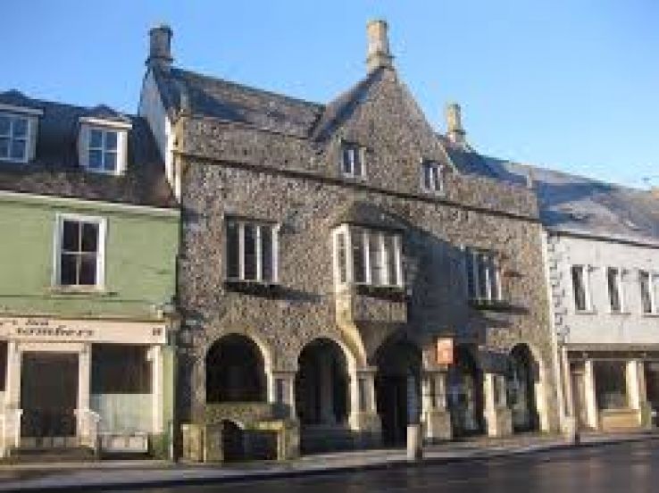 Rothe familyMemorial · 117 yd
 Sheela-na-gig (present location) in Gardens (kilkenny City By., St. Mary’s Par.)Sheela-na-gig (present location) · 126 yd
 Emling's Hall (site of)Archaeological place · 132 yd
 Kilkenny Old Jail and CourthouseVisitor information · 144 yd
 Black Abbey CarparkMemorial · 148 yd
 Smithwick's Brewery ExperienceHeritage attraction · 151 yd
 Grace's Old CastleCastle · 161 yd
 Kilkenny CourthouseVisitor information · 172 yd
 Black PoplarBlack Poplar · 589 yd