What is recorded here
Beneath the orchard soil at 21 High Street, a battered stone pit waits where medieval hands stopped shaping it. Kilkenny pottery and a local roof crest fill its darkness, marking the thirteenth or fourteenth century when the Hightown still breathed around the Market Cross. The pit lies beside five shallow cuts in yellow clay, trapped inside the burgage wall and beneath houses that have forgotten its purpose. It is not a well for drinking nor a chamber for treasure; it is the town’s own discarded edge, preserved under footpaths and coach roofs.
Medieval stone-lined pit uncovered in archaeological test-excavations (07E0910) by Cóilín Ó Drisceoil in the rear plot of No. 21 High Street, Kilkenny (Ó Drisceoil 2008, unpublished; 2010, 254). The site is situated within the walls of the Hightown of Kilkenny, on the chief thoroughfare of the Anglo-Norman town and 70m SW of the site of the Market Cross of Kilkenny, which formerly stood near the Tholsel (KK019-026061-). The present building at 21 High Street (NIAH 12000055) was constructed in 1819 as a Glebe House for the parish church of St Mary's (KK019-026115-) via a grant from the Board of First Fruits, and it incorporates the shell of a three-storey over basement Elizabeth/Jacobean merchant house (KK019-026051-), which was itself heavily-modified in the Georgian era (Farrelly et al. 1993, 42; Murtagh 1999, unpublished; Ó Drisceoil 2008, unpublished; 2010, 254). The early modern house may have formed the inner house of a building complex, the original front house having been on the High Street frontage. Elizabethan/Jacobean features in the rear wall of the building include the remains of a three-light window of dressed limestone, the jamb stone of another window and a projecting chimney flue (Farrelly et al. 1993, 42). Thirty metres W of the rear of the building a large rectangular stone-lined pit/well (int. dims. 1.75 N-S x > 3m E-W; D > 0.8m) with battered sides was uncovered in the test-excavations (07E0910). An 0.8m deep sondage excavated into its silt and mortar backfill yielded Kilkenny-type and Saintonge pottery and a locally-produced roof ridge-crest, indicating its infilling occurred in the 13th/14th century. The feature was situated adjacent to five quarry/refuse pits that cut into the natural yellow boulder clay and directly inside (to S of) the foundations of the medieval northern burgage wall of the plot. The subsoil-cut and the stone-lined pit underlay garden soils (D 1.6-2m) that were probably introduced for orchards in the early modern period. Foundations for a coach-house marked on the 1st (1839) ed. OS 6-inch map were also noted to E of the stone-lined pit. All of the archaeological features were preserved in situ.
See attached photograph of excavation.
Compiled by: Cóilín Ó Drisceoil
Date of upload: 4 November 2020
The monument record does not grant public access. Check the route and ask the landowner before entering private land.
- What survives
- Recorded monument
Places near here
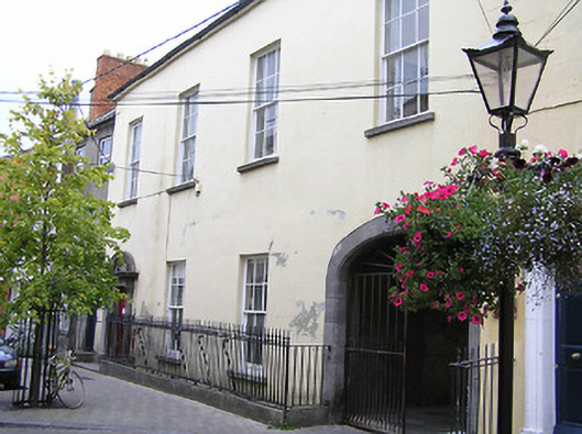 church hall/parish hallchurch hall/parish hall · 19 yd
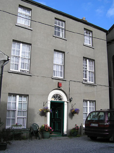 Kilkenny Methodist Churchmanse · 43 yd
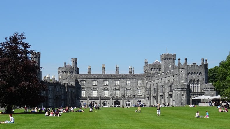 Thomas DollardMemorial · 77 yd
 TholselHeritage attraction · 89 yd
 Medieval Mile MuseumMuseum · 127 yd
 Graveslab in Gardens (kilkenny City By., St. Mary’s Par.)Graveslab · 129 yd
 Almshouse in Gardens (kilkenny City By., St. Mary’s Par.)Almshouse · 164 yd
 Ormonde StreetMemorial · 225 yd
 Irish River LifeVisitor information · 257 yd
 Kilkenny CourthouseVisitor information · 330 yd
 Grace's Old CastleCastle · 345 yd
 Black PoplarBlack Poplar · 818 yd