What is recorded here
Situated on an E-facing slope c. 80m N of St. Evan's cathedral (WX015-003003-). Archaeological testing (01E1208) produced evidence of an area of charcoal that was in the interface of the topsoil and subsoil but did not appear to have produced suboil redenning. (Hurley 2003)
Compiled by: Michael Moore
Date of upload: 24 April, 2012
The monument record does not grant public access. Check the route and ask the landowner before entering private land.
- What survives
- Recorded monument
Places near here
 Stone CrossCross, High cross · 37 yd
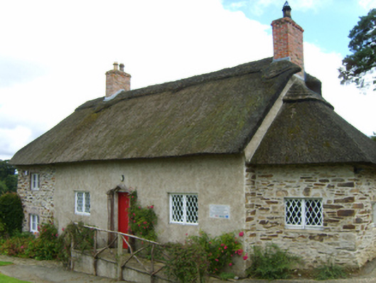 Saint Mogue's Cottagesexton's house · 56 yd
 Hut site in Ferns UpperHut site · 69 yd
 Saint Mogue's Wellbuilding misc · 71 yd
 Ferns Castle (in ruins)Castle, Anglo-Norman masonry castle · 473 yd
 Coolroe WoodForest · 1.0 mi
 Coolpuck WoodForest · 1.2 mi
 CastleCastle, unclassified · 1.2 mi
 Milshoge RockMountain / peak · 3.7 mi
 Giants BedNamed rock · 3.9 mi
 Carrigroe HillMountain / peak · 4.4 mi
 Father Murphy CentreHeritage attraction · 4.5 mi